Sierra de Orihuela, Mountain range in southeastern Spain
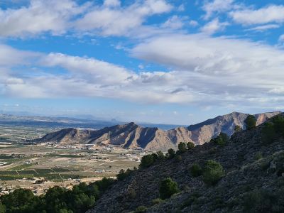
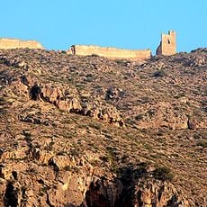
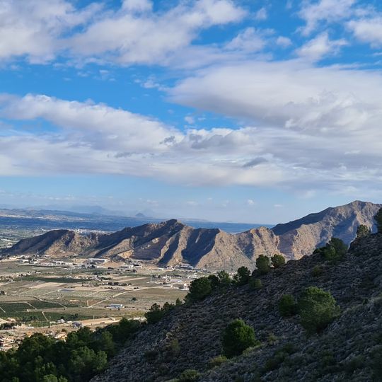
The Sierra de Orihuela is a mountain range in the Region of Murcia and the Valencian Community in southeastern Spain. It runs roughly east to west, and its highest point, known as Peña de Orihuela or Leja Millamón, rises to just over 630 meters (2,067 feet) above sea level.
The mountains show signs of human presence going back to the Paleolithic period, with cave art and stone tools found near Cabezo Malnombre. In the 1800s, iron, copper, and briefly cinnabar were extracted from the slopes, giving the range an economic role that lasted into the early 20th century.
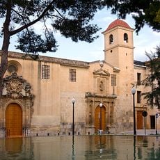
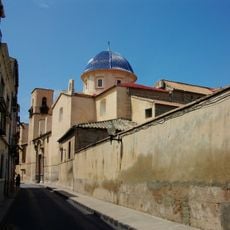
The Sierra de Orihuela takes its name from the town of Orihuela, which sits right at its base. From many parts of the town, the rocky walls are clearly visible, making the range a constant part of daily life for people living there.
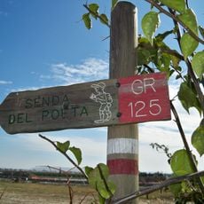
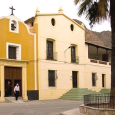
The range can be reached on foot from the town of Orihuela or from smaller villages such as La Aparecida, though some trails involve steep climbs and solid footwear is a good idea. Summer heat is intense and water sources along the trails are very scarce, so visiting in spring or autumn makes the experience much more comfortable.
Some plant species growing on the cliffs here are found nowhere else on Earth, living in tiny cracks in the limestone where almost nothing else can survive. The range also contains a cave called Cueva del Calor, which runs from the site of the old castle of Orihuela down through the rock to the lower slope.
The community of curious travelers
AroundUs brings together thousands of curated places, local tips, and hidden gems, enriched daily by 90,995 contributors worldwide.