Basque Coast Geopark, Geological heritage site in Basque Country, Spain
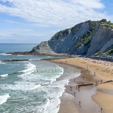
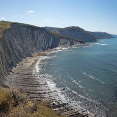
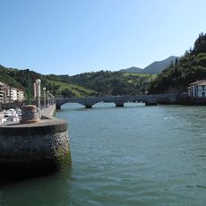
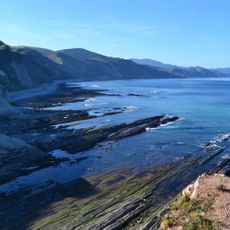
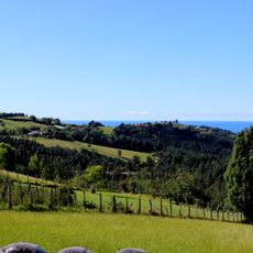
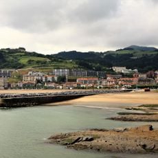
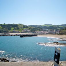
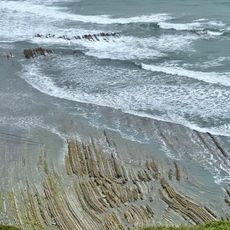
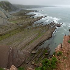
The Basque Coast Geopark covers three municipalities along the Cantabrian Sea and displays dramatic limestone cliffs with distinctive layered rock formations. These geological structures reveal how the earth's surface changed and shifted across millions of years.
The geopark formed from ancient seabed deposits that accumulated and shifted over 60 million years. The rock layers preserve evidence of a major extinction event that reshaped life on Earth.
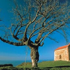
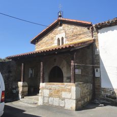
The caves scattered along the coast tell stories of ancient peoples who once lived here and left behind tools and art. These spaces remain visible today as reminders of how people adapted to this rocky landscape.
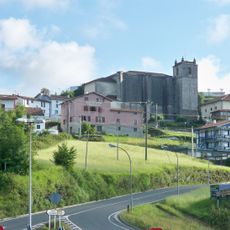
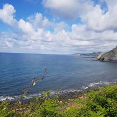
A marked route with viewpoints allows visitors to explore the main highlights without strenuous hiking. Sturdy shoes are helpful since the terrain can be uneven and rocky in places.
The site also displays karst features with cavities carved by water into limestone that once lay beneath tropical seas. This hidden underground landscape reveals how water shapes rock over vast timescales.
The community of curious travelers
AroundUs brings together thousands of curated places, local tips, and hidden gems, enriched daily by 60,000 contributors worldwide.