Puig Castellar

Log in to your account

AroundUs is a community-driven map of interesting places, built by curious explorers like you. It grows with every review, story, and photo you share.
Connect to save your favorite spots, contribute locations, and create personalized routes.
Continue with Google
Continue with Apple
Continue with X
Continue with Facebook
Continue with email
By continuing, you accept our Terms and Conditions and our Privacy Policy
Create an account

Puig Castellar

Add to collection
Map
Suggest a change
Share

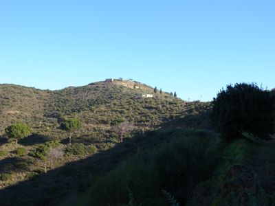
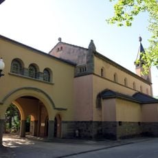
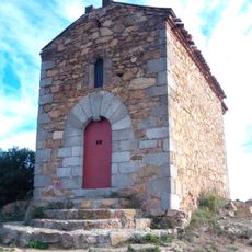
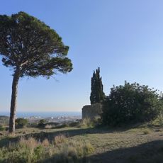
Puig Castellar, Summit and archaeological site at Serralada de Marina park, Spain.

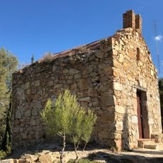
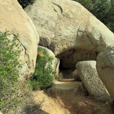
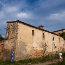
Puig Castellar is a porphyry summit located between Montcada i Reixac and Santa Coloma de Gramenet, crowned by the remains of an ancient Iberian settlement. The ruins include residential buildings, streets, and defensive structures arranged in terraces across the hillside.

The settlement was rediscovered in 1902 and excavated in the early 1900s by researchers who uncovered significant artifacts. These investigations established this location as an important source of knowledge about Iberian communities in the region.

The Iberian settlement shows how people lived together through tools, toys, and coins that reveal daily routines and trade connections. Walking through the structures today helps visitors imagine the community that once occupied this hilltop.

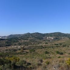
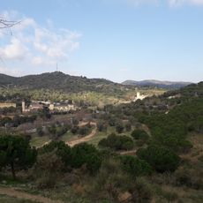
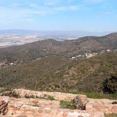
The site is accessible via marked trails that guide visitors through the ruins and past informational panels explaining the structures. Wear sturdy shoes for the terrain and be prepared for changeable mountain weather at this exposed hillside location.

Houses were ingeniously built into the steep slope and stabilized with slate and granite retaining walls that still stand today. This construction approach shows how residents cleverly adapted to the difficult terrain to create structures that have endured for centuries.

Location: Montcada i Reixac

Location: Santa Coloma de Gramenet

Elevation above the sea: 303 m

Made from material: porphyry

Part of: seznam 100 vrhov FEEC

GPS coordinates: 41.47029,2.20656

Latest update: December 14, 2025 20:03

Photos
Reviews

Visited this place? Tap the stars to rate it and share your experience / photos with the community! Try now! You can cancel it anytime.

« Puig Castellar - Summit and archaeological site at Serralada de Marina park, Spain » is provided by Around Us (aroundus.com). Images and texts are derived from Wikimedia project under a Creative Commons license. You are allowed to copy, distribute, and modify copies of this page, under the conditions set by the license, as long as this note is clearly visible.

Discover hidden gems everywhere you go!

From secret cafés to breathtaking viewpoints, skip the crowded tourist spots and find places that match your style. Our app makes it easy with voice search, smart filtering, route optimization, and insider tips from travelers worldwide. Download now for the complete mobile experience.

Around Us App Screenshot

A unique approach to discovering new places

Le Figaro

All the places worth exploring

France Info

A tailor-made excursion in just a few clicks

20 Minutes