Mourne Mountains, mountain range in County Down, Northern Ireland, UK
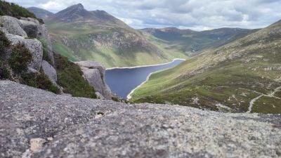
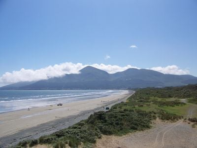
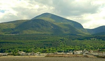
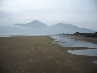
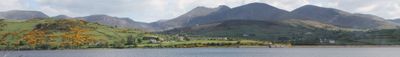
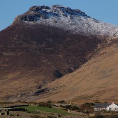
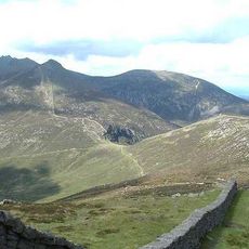
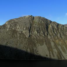
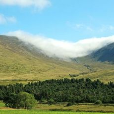
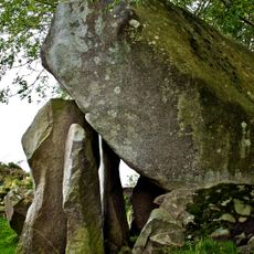
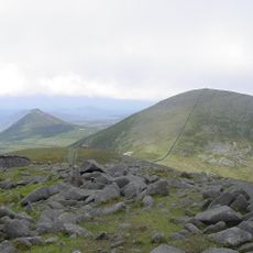
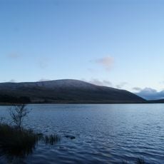
The Mourne Mountains are a granite mountain range in County Down, Northern Ireland, with the highest peak, Slieve Donard, reaching about 850 meters. These hills stretch from the uplands down to the sea, featuring steep rocky cliffs, craggy summits, and slopes covered in heather and grasses.
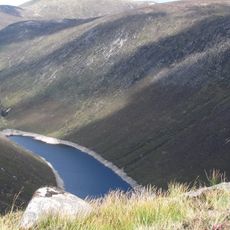
The granite mountains formed about 50 million years ago and were shaped by glaciers during the last Ice Age, which carved deep valleys. Early settlers cleared forests and used the slopes for grazing cattle, goats, and later sheep.
Many peak names start with the Irish word 'Slieve', meaning mountain, showing the Gaelic roots of the place. The song 'The Mountains of Mourne' from 1896 became a lasting symbol of these hills in Irish culture and continues to be performed by artists today.
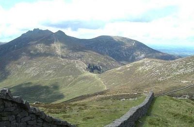
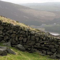
There are walking routes for all levels, from gentle strolls to challenging climbs, and visitors should wear sturdy footwear suited to the weather and ground conditions. The Mourne Wall, a stone barrier crossing 15 summits, serves as a useful landmark for planning your route.
Slieve Donard stands as the highest peak in the entire province of Ulster, and on clear days the summit offers views that stretch far across both land and sea. Many visitors find the feeling of standing surrounded by nature at the top a moment they remember long after leaving.
The community of curious travelers
AroundUs brings together thousands of curated places, local tips, and hidden gems, enriched daily by 60,000 contributors worldwide.