
Halstock, village and civil parish in Dorset, United Kingdom

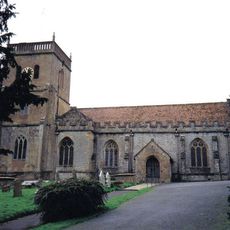
Church of Saint Michael
4.3 km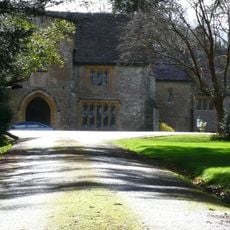
Coker Court
4.2 km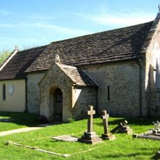
Church of All Saints, Sutton Bingham
3.3 km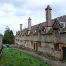
Helyar Almshouses
4.4 km
Whitevine Meadows
3.4 km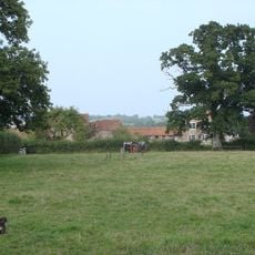
Grove Farm, Somerset
3.1 km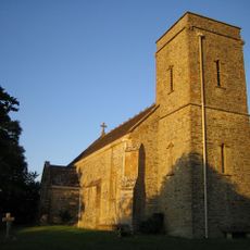
Church of Saint Roch
3 km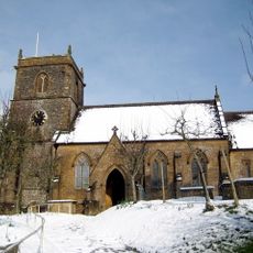
Church of Saint Mary
4.8 km
Church of All Saints, Closworth
3.3 km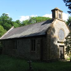
Parish Church of St James
2.1 km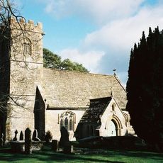
Church of St Juthware and St Mary
496 m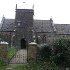
Parish Church of St Andrew
2.5 km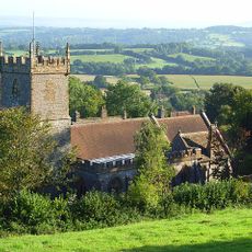
Church of St Mary
3.5 km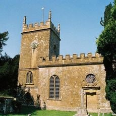
Parish Church of St Osmond
3.5 km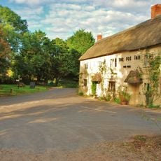
The Fox Inn
2.9 km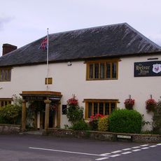
Helyar Arms Public House
4.4 km
Silverweed Cottage
4.4 km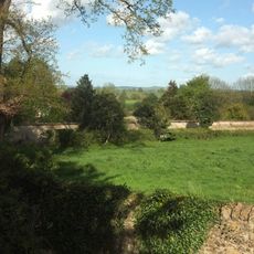
The Walls To The Kitchen Garden, Approximately 30 Metres North North West Of Coker Court
4.3 km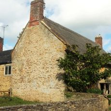
Slade's Farm House
4.3 km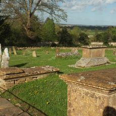
Goodman Chest Tomb, In The Churchyard 1.5 Metres North Of The North Porch, Church Of Saint Michael
4.3 km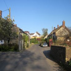
6 And 8, High Street
3.3 km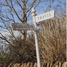
Signpost At Ngr 51871219
4.7 km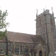
Collins Chest Tomb, 2 Metres South Of The South East Nave Window, Church Of All Saints
3.3 km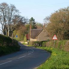
Dogwell Farmhouse
756 m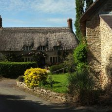
Town's End And Monmouth House
3.8 km
Milestone, 200m W of radio mast
4.9 km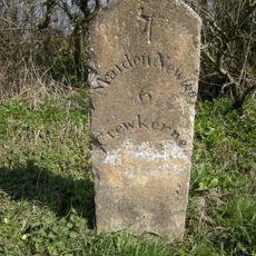
Milestone, 100m E of Halstock and Corscombe turning
4.7 km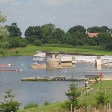
Sutton Bingham Reservoir
3.4 kmReviews
Visited this place? Tap the stars to rate it and share your experience / photos with the community! Try now! You can cancel it anytime.
Discover hidden gems everywhere you go!
From secret cafés to breathtaking viewpoints, skip the crowded tourist spots and find places that match your style. Our app makes it easy with voice search, smart filtering, route optimization, and insider tips from travelers worldwide. Download now for the complete mobile experience.

A unique approach to discovering new places❞
— Le Figaro
All the places worth exploring❞
— France Info
A tailor-made excursion in just a few clicks❞
— 20 Minutes