
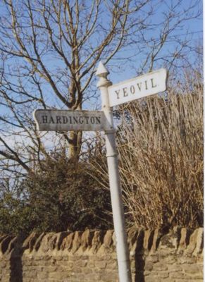
Signpost At Ngr 51871219, building in Hardington Mandeville, South Somerset, Somerset, UK
Location: Hardington Mandeville
GPS coordinates: 50.90719,-2.68572
Latest update: March 11, 2025 23:38
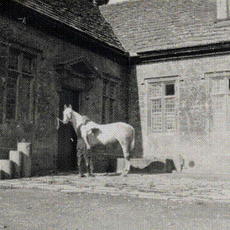
Stable block about 70 metres west of Brympton House
3.2 km
Naish Priory
2.2 km
Church of Saint Michael
2 km
Coker Court
1.9 km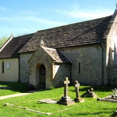
Church of All Saints, Sutton Bingham
3.1 km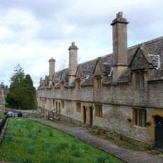
Helyar Almshouses
2.1 km
Hardington Moor
893 m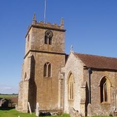
Church of Saint Martin of Tours
1.4 km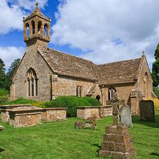
St Andrew's Church
3.2 km
Grove Farm, Somerset
2.7 km
Church of Saint Roch
1.8 km
Church of Saint Mary
700 m
Church of Saint Mary
2.3 km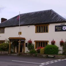
Helyar Arms Public House
2.2 km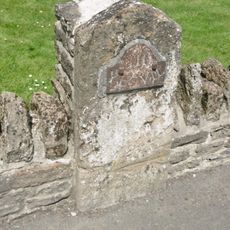
Milestone, Built Into Boundary Wall, Four Acres Hotel
1.4 km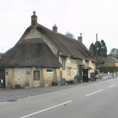
The Castle Public House
1.4 km
Silverweed Cottage
2.3 km
The Walls To The Kitchen Garden, Approximately 30 Metres North North West Of Coker Court
2.1 km
Slade's Farm House
2.3 km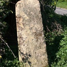
Stone At Ngr St 5082 1501
3 km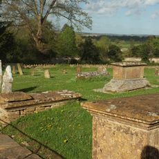
Goodman Chest Tomb, In The Churchyard 1.5 Metres North Of The North Porch, Church Of Saint Michael
2 km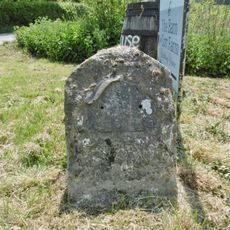
Milestone At Ngr 49151268
2.8 km
Weston House
2.9 km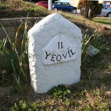
Milestone, 83M South-West Of The Junction Between West Coker Road (A30) And Camp Road
2.5 km
Milestone, Approximately 30M South-West Of Coker Hill Bridge
1.9 km
The Chantry House The Dower House
3.2 km
The Pinnacles
2.7 km
1 and 3, East Street
1.3 kmReviews
Visited this place? Tap the stars to rate it and share your experience / photos with the community! Try now! You can cancel it anytime.
Discover hidden gems everywhere you go!
From secret cafés to breathtaking viewpoints, skip the crowded tourist spots and find places that match your style. Our app makes it easy with voice search, smart filtering, route optimization, and insider tips from travelers worldwide. Download now for the complete mobile experience.

A unique approach to discovering new places❞
— Le Figaro
All the places worth exploring❞
— France Info
A tailor-made excursion in just a few clicks❞
— 20 Minutes