
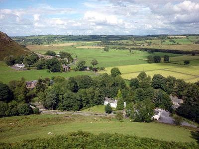
Mungrisdale, village and civil parish in Cumbria, United Kingdom
Location: Eden
Website: http://mungrisdale.com
GPS coordinates: 54.66300,-2.98900
Latest update: March 3, 2025 00:01
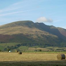
Blencathra
6.2 km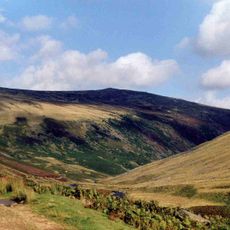
Carrock Fell
5 km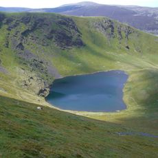
Bowscale Fell
3 km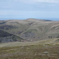
High Pike
6.5 km
Mungrisdale Common
5.2 km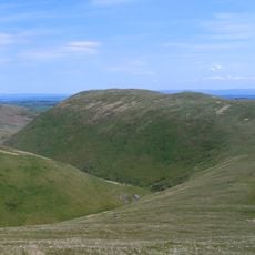
Souther Fell
1.4 km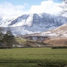
Bannerdale Crags
3.1 km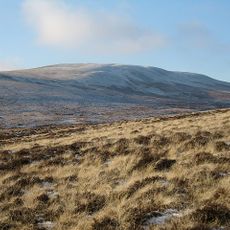
Knott
7.2 km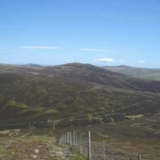
Great Calva
7.3 km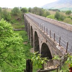
Mosedale Viaduct
4.5 km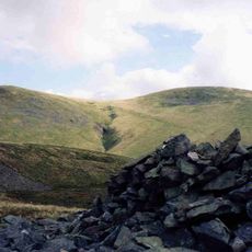
Great Sca Fell
8 km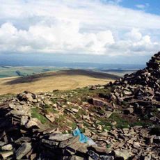
Brae Fell
8.9 km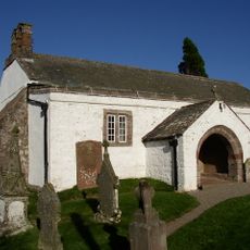
Church of St Kentigern, Castle Sowerby
6.2 km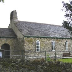
Church of St Kentigern, Mungrisdale
230 m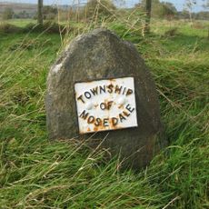
Boundary Stone
3.2 km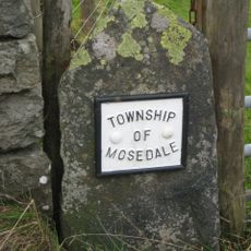
Boundary Stone At West End Of Low Mill Bridge
2.3 km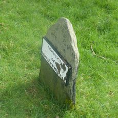
Boundary Stone South Of Low Mill
2.4 km
Friends' Meeting House And Adjoining Stables
2.1 km
Hesket Hall Farmhouse
8.7 km
Market Cross, Hesket Newmarket
8.7 km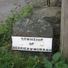
Boundary Stone At East End Of Low Mill Bridge
2.3 km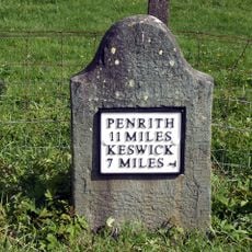
Milestone At Ny 354 267
3.6 km
Boundary Stone South Of Moss Dyke
1.1 km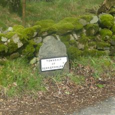
Boundary Stone West Of Entrance To Low Mill Farmhouse
2.4 km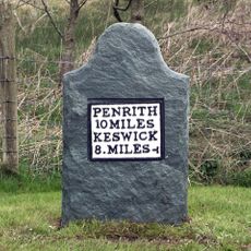
Milestone, Entrance to Lisco Farm
3 km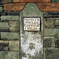
Milestone, Gate Crag, Scales
4.2 km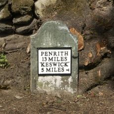
Milestone, Wood End, E end of village
5.6 km
Milestone, Right entrance to Far Howe
3.7 kmVisited this place? Tap the stars to rate it and share your experience / photos with the community! Try now! You can cancel it anytime.
Discover hidden gems everywhere you go!
From secret cafés to breathtaking viewpoints, skip the crowded tourist spots and find places that match your style. Our app makes it easy with voice search, smart filtering, route optimization, and insider tips from travelers worldwide. Download now for the complete mobile experience.

A unique approach to discovering new places❞
— Le Figaro
All the places worth exploring❞
— France Info
A tailor-made excursion in just a few clicks❞
— 20 Minutes