
Monyash, village and civil parish in Derbyshire Dales district, Derbyshire, England
Location: Derbyshire Dales
Shares border with: Flagg, Hartington Middle Quarter, Middleton and Smerrill, Youlgrave, Over Haddon, Ashford in the Water
GPS coordinates: 53.19600,-1.77700
Latest update: March 12, 2025 02:45

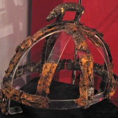
Benty Grange helmet
2.4 km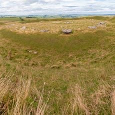
Arbor Low
3.2 km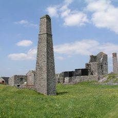
Magpie Mine
2.7 km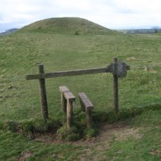
Gib Hill
3.3 km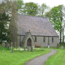
St Michael and All Angels' Church, Sheldon
3.5 km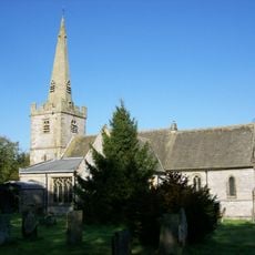
Church of St Leonard
179 m
Quaker Chapel
134 m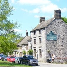
The Bull's Head Public House
30 m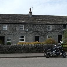
Post office, house and dairy
38 m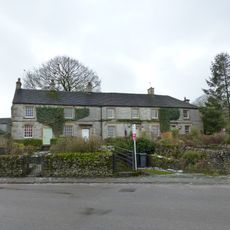
Old Hall Cottages
203 m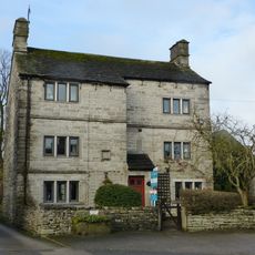
Sheldon House
199 m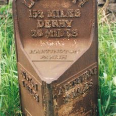
Mile Post 34 Metres North-West Of Middle Street Farm At Ngr Sk 136 653
1.9 km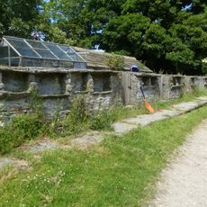
Pigsties at One Ash Grange
2.3 km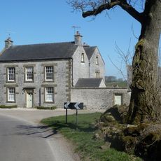
Manor House Farmhouse
341 m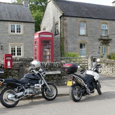
K6 Telephone Kiosk
23 m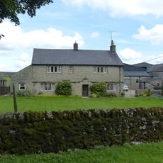
Hurdlow Hall and attached garden wall and gates
3.2 km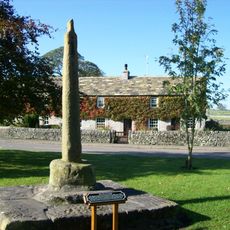
Village Cross
17 m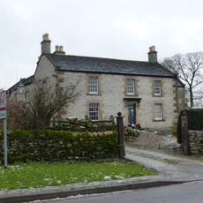
Chandlers
114 m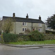
Mere Farmhouse and outbuilding
144 m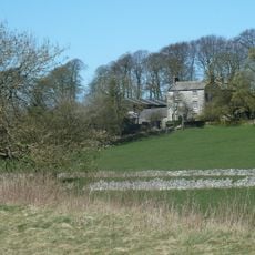
Cotesfield Farmhouse
2.6 km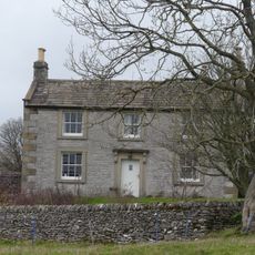
Haddon Grove Farm (East)
3.1 km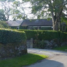
Townend Farmhouse
313 m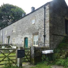
Hurdlow Manor and attached barn
3.1 km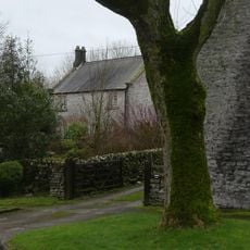
Holme Deene
3.4 km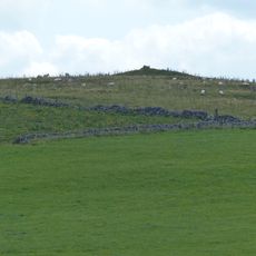
Cronkston Low bowl barrow
3.3 km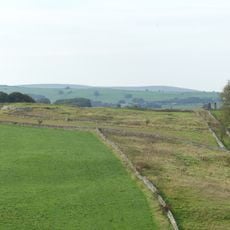
True Blue nucleated lead mine, 600m ESE of Magpie Mine
3.2 km
Bole Hill bowl barrow
3.5 km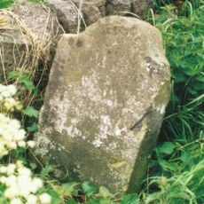
Milestone, Pomeroy
3.3 kmVisited this place? Tap the stars to rate it and share your experience / photos with the community! Try now! You can cancel it anytime.
Discover hidden gems everywhere you go!
From secret cafés to breathtaking viewpoints, skip the crowded tourist spots and find places that match your style. Our app makes it easy with voice search, smart filtering, route optimization, and insider tips from travelers worldwide. Download now for the complete mobile experience.

A unique approach to discovering new places❞
— Le Figaro
All the places worth exploring❞
— France Info
A tailor-made excursion in just a few clicks❞
— 20 Minutes