Barra Head Lighthouse, Coastal lighthouse in Outer Hebrides, Scotland.
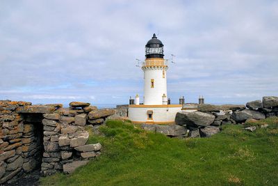
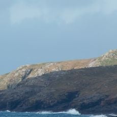
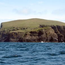
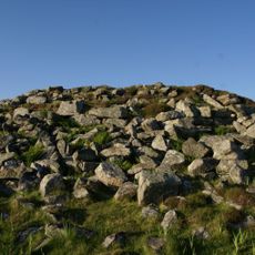
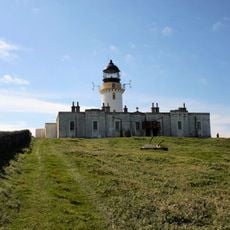
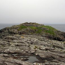
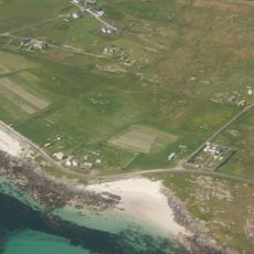
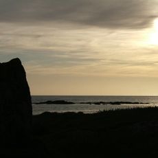
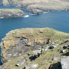
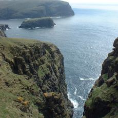
Barra Head Lighthouse is a white circular stone tower built on the island of Berneray, the southernmost tip of the Outer Hebrides in Scotland. It sits on top of cliffs that drop sharply into the Atlantic, making it visible from a great distance out at sea.
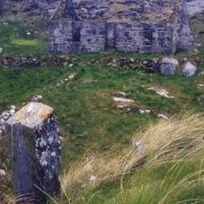
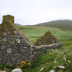
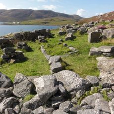
The tower was designed by Robert Stevenson and completed in 1833 to warn ships away from the dangerous waters around the southern tip of the Outer Hebrides. For many decades, keepers and their families lived on the remote island year-round before the lighthouse was automated.
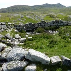
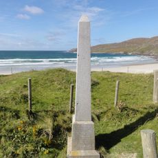
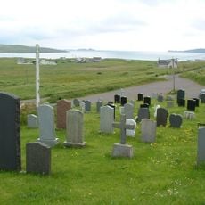
The cemetery on the lighthouse grounds holds memorial stones for children of lighthouse keepers who lived in this remote place. These graves tell the story of families who worked here across generations.
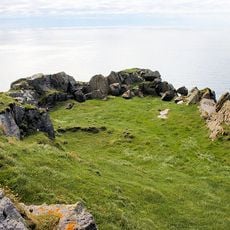
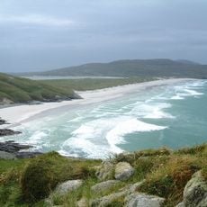
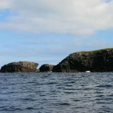
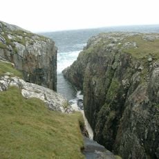
Berneray is a remote island reached only by boat, and crossings depend on the weather since the sea here can be rough. Visitors should come well prepared and take care both on the water and near the cliff edges.
Although the tower itself stands about 60 feet (18 m) tall, the height of the cliffs beneath it brings the light to around 620 feet (190 m) above sea level, making it the highest lighthouse light in the whole of the United Kingdom. On the grounds, there are old gravestones of keepers' children, a quiet reminder of daily life on this lonely island.
The community of curious travelers
AroundUs brings together thousands of curated places, local tips, and hidden gems, enriched daily by 60,000 contributors worldwide.