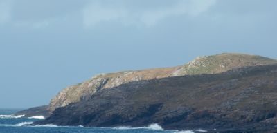
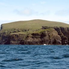
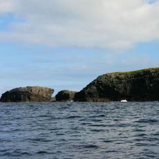
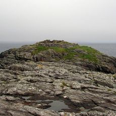
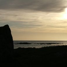
Biruaslum, Coastal rock stack in Barra Isles, Scotland.
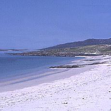
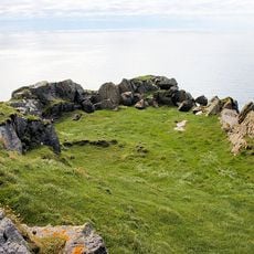
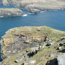
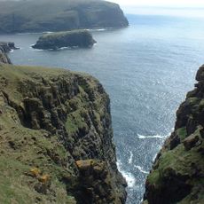
Biruaslum is a rock stack off the coast of the Barra Isles in Scotland with vertical cliffs that separate it from the neighboring island of Vatersay. The formation rises prominently from the surrounding waters and is easily visible from the sea.
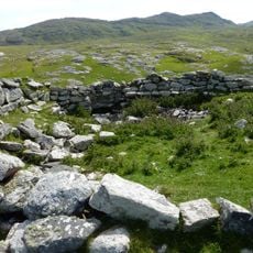
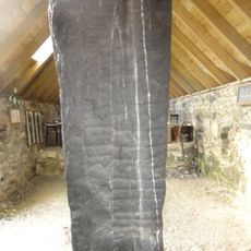
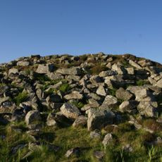
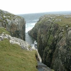
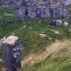
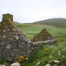
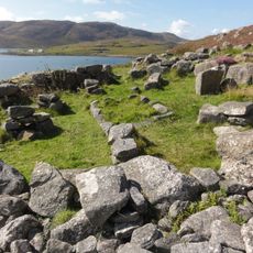
This location once held an ancient fort that shows evidence of multiple periods of settlement. Archaeological findings suggest the site was occupied during the Iron Age and earlier in the Neolithic period.
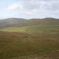
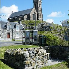
The name comes from Scottish Gaelic and reflects the linguistic roots of the Outer Hebrides, where this language remains woven into daily island life. You can sense this connection to local heritage as you explore the surrounding coastline.
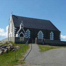
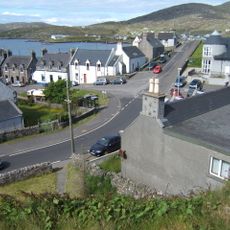
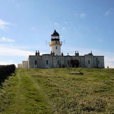
The best way to visit is to arrange a boat trip from Barra Island, where local water transport services operate regularly. Weather and sea conditions can affect accessibility, so it helps to keep your plans flexible.
An oval structure attached to the fort wall displays construction methods similar to early Irish building styles, hinting at possible connections between the Scottish islands and Ireland. This detail reveals how building traditions moved between regions during ancient times.
Location: Outer Hebrides
GPS coordinates: 56.93390,-7.57667
Latest update: December 14, 2025 18:43
Kisimul Castle
5.8 km
Barra Head Lighthouse
17.2 km
Tràigh Mhòr
13.3 km
St Michael's Church
23.6 km
Arnamul
15.7 km
Dun Cuier
8.9 km
Dun Bharpa,chambered cairn 800m NE of Balnacraig
8.3 km
Church of our Lady, Star of the Sea, Barra
6.1 km
Barra, Castlebay, The Square
6 km
Cille Bharra
14.6 km
Prince’s Beach
22.7 km
Dun a Chaolais
2.1 km
Berneray
17.2 km
Annie Jane Monument, Vatersay
2.4 km
South Uist, Pollachar Inn
22.6 km
Barra Head Lighthouse, Berneray, Keeper's House
17.2 km
Dun Scurrival,dun,Eoligarry
14.5 km
Mingulay, Geirum Mor
16.3 km
Barra, Dun Ban
4.6 km
Dunan Ruadh,galleried dun,Pabbay,Barra
8.7 km
Pabbay,symbol stone,cross-marked stones,chapel and settlement
8.9 km
Cille Bharra, church, two chapels, and seven grave markers, Barra
14.6 km
West Kilbride Walled Garden, South Uist
23.1 km
Pollachar,standing stone 250m SW of
22.6 km
Mingulay, village and field system
14 km
Alt Chrisal, multi-period settlement 750m ESE of Gortein, Barra
3.6 km
Berneray, Dun Briste
16.9 km
Mingulay, Dun Mhiughlaigh
15.3 kmVisited this place? Tap the stars to rate it and share your experience / photos with the community! Try now! You can cancel it anytime.
Discover hidden gems everywhere you go!
From secret cafés to breathtaking viewpoints, skip the crowded tourist spots and find places that match your style. Our app makes it easy with voice search, smart filtering, route optimization, and insider tips from travelers worldwide. Download now for the complete mobile experience.
A unique approach to discovering new places❞
— Le Figaro
All the places worth exploring❞
— France Info
A tailor-made excursion in just a few clicks❞
— 20 Minutes