Y Garn, Mountain summit in Snowdonia National Park, Wales
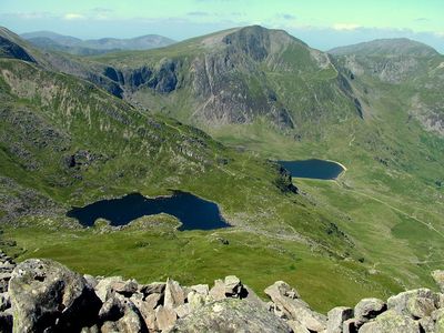
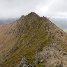
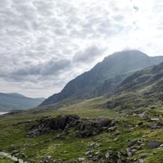
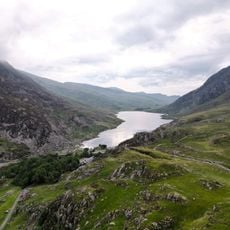
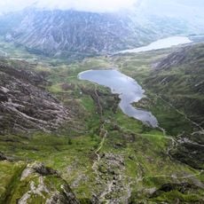
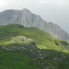
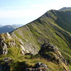
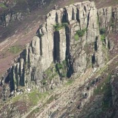
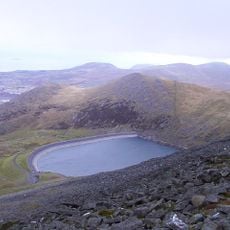
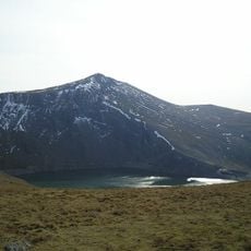
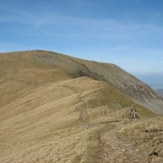
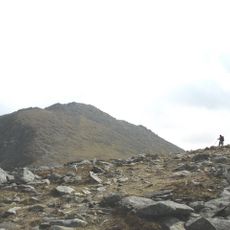
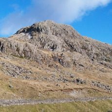
Y Garn is a mountain summit in the Glyderau range within Snowdonia National Park in north Wales, sitting at around 947 meters (3,107 feet) above sea level. Its flanks are shaped by steep rocky ridges and deep glacial hollows called cwms, giving the peak a pronounced profile when seen from the east.
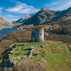
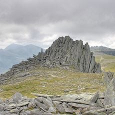
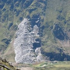
Y Garn took its present shape during the last ice age, around 12,000 years ago, when glaciers carved through the rock and left behind the deep cwms and sharp ridges still visible today. The mountain later became part of Snowdonia National Park, established in 1951, which brought formal protection to the surrounding landscape.
The name Y Garn is Welsh and means simply "the cairn" or "the peak", a reminder that the local language is woven into the land itself. Walkers on the upper ridges often meet experienced mountaineers passing on route-finding skills to younger companions, a living tradition in this part of Wales.
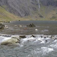
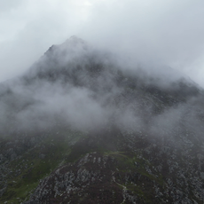
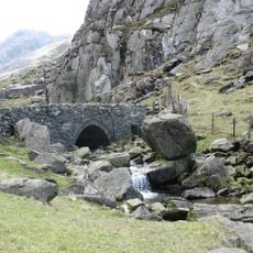
The most common starting point is near Llyn Ogwen, off the A5 road, where there are parking areas available at the foot of the trails. Footwear with good grip and waterproof layers are worth bringing, as the upper ridges are exposed and weather on the summit can shift without warning.
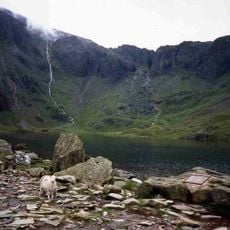
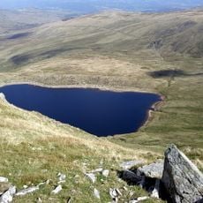
At the top of Y Garn there is a low stone windbreak built from local rock, which walkers use as a shelter when strong winds sweep across the exposed summit. On a clear day, the view from this spot takes in Snowdon itself, even though the two peaks belong to separate mountain groups.
The community of curious travelers
AroundUs brings together thousands of curated places, local tips, and hidden gems, enriched daily by 60,000 contributors worldwide.