Enable Location

We need your location to show you interesting places around you

Discover nearby places

Find interesting locations and hidden gems around you

Precise directions

Get accurate directions and distances to places

Your location is never shared with other users. It's only used when you tap the location button.

Glyder Fawr

Log in to your account

Start exploring — it's free

Trusted by 61,908 travelers worldwide

Continue with Google
Continue with Apple
or

We will send you a code to connect

By continuing, you accept our Terms and Conditions and our Privacy Policy

Check your inbox

We've sent a pincode in your inbox. Please enter the code below.

Glyder Fawr

Glyder Fawr, Mountain summit in Snowdonia National Park, Wales.

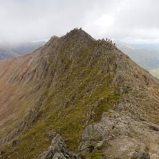
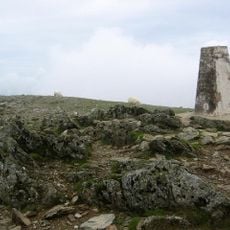
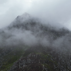
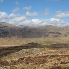
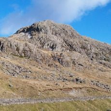
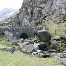
Glyder Fawr is the highest mountain in the Glyderau range, rising to 1001 meters with steep scrambles and exposed rocky paths at the peak. The terrain becomes increasingly rugged higher up, with large boulders and narrow passages requiring careful footwork throughout the climb.

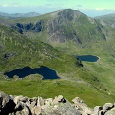
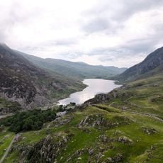
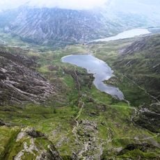
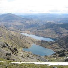
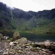
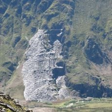
The mountain formed around 500 million years ago when ancient land masses collided and shaped the entire region. During the last ice age, thick ice sheets filled the valleys below while this peak stayed above the frozen landscape as a nunatak.

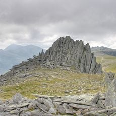
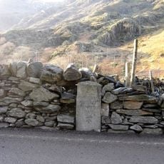
The Welsh name Glyder comes from Gludair, meaning stone heap, reflecting how local people have long described the mountain's rocky character. This linguistic link shows the deep connection between the landscape and the language spoken in these valleys.

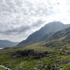
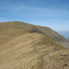
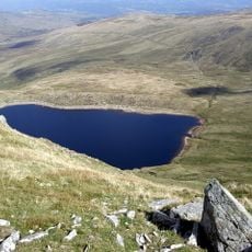
Multiple trails lead to the summit from Pen y Pass and Ogwen Cottage, with navigation equipment essential due to frequent weather changes. Weather can shift rapidly at any time, so start early and bring extra layers even if conditions look clear when you begin.

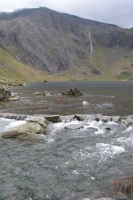
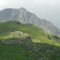
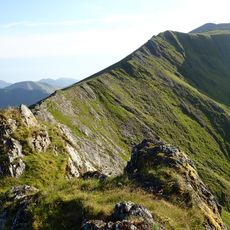
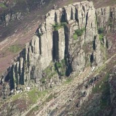
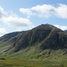
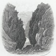
The northern face presents vertical cliffs and buttresses that rise steeply and give the mountain its dramatic silhouette from many viewpoints across the region. These towering rock formations are visible from valleys below and make this peak stand out in the landscape.

The community of curious travelers

AroundUs brings together thousands of curated places, local tips, and hidden gems, enriched daily by 60,000 contributors worldwide.

Start exploring
Location
Elevation above the sea
1,000.9 m
Part of
Snowdonia National Park
GPS coordinates
53.10149,-4.02912
Latest update
December 7, 2025 19:27
« Glyder Fawr - Mountain summit in Snowdonia National Park, Wales » is provided by Around Us (aroundus.com). Images and texts are derived from Wikimedia project under a Creative Commons license. You are allowed to copy, distribute, and modify copies of this page, under the conditions set by the license, as long as this note is clearly visible.

Discover hidden gems everywhere you go!

From secret cafés to breathtaking viewpoints, skip the crowded tourist spots and find places that match your style. Our app makes it easy with voice search, smart filtering, route optimization, and insider tips from travelers worldwide. Download now for the complete mobile experience.

Around Us App Screenshot

A unique approach to discovering new places

Le Figaro

All the places worth exploring

France Info

A tailor-made excursion in just a few clicks

20 Minutes

Around Us
Travel Guide & Maps
Download

Send to your phone

QR Code
1

Open the camera app on your mobile.

2

Point at the QR code with your camera. A notification will appear.

3

Tap the notification to open the link.