Gallt yr Ogof, Mountain summit in Conwy County Borough, Wales.
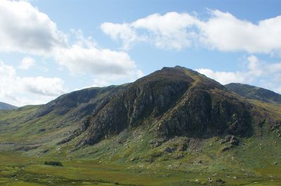
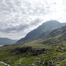
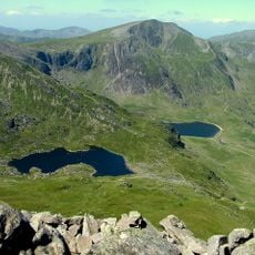
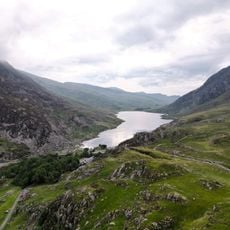
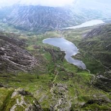
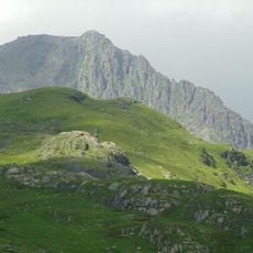
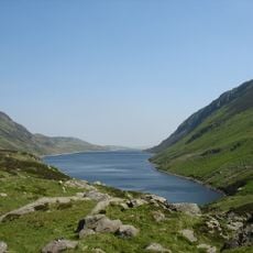
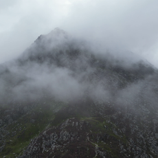
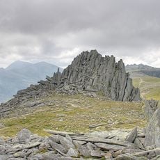
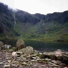
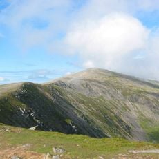
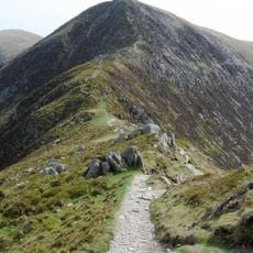
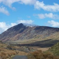
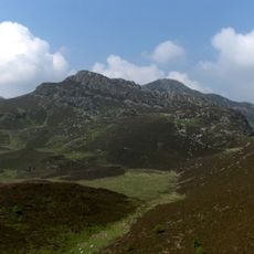
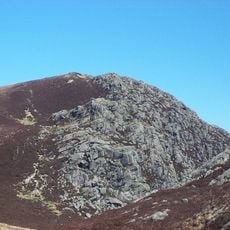
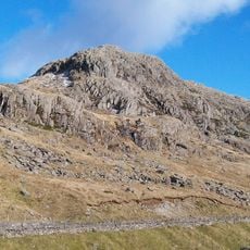
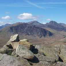
Gallt yr Ogof is a mountain summit in the Glyderau range that reaches 763 meters and displays rocky outcrops near its peak. The surrounding slopes show the typical steep terrain and stone features found throughout this part of North Wales.
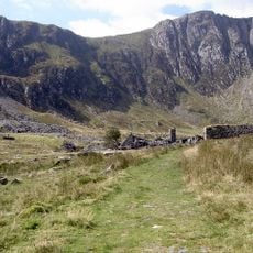
Climbers have reached this mountain since around 1900, with mountaineering groups keeping records of their activities and routes. This documentation reveals how climbing in this region has developed over the past century.
The Welsh name refers to the hill and cave landscape that early inhabitants used to describe their surroundings in simple, direct terms.
Hikers should check Landranger Map 115 or Explorer Map OL17E to plan their route and navigate safely. These maps are the standard tools for finding your way in this mountainous area of North Wales.
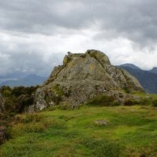
Near the summit cairn sit several rock formations that walkers use as navigation markers on the slope. These stone features serve as natural signposts that help with finding your way across the mountain.
The community of curious travelers
AroundUs brings together thousands of curated places, local tips, and hidden gems, enriched daily by 60,000 contributors worldwide.