Enable Location

We need your location to show you interesting places around you

Discover nearby places

Find interesting locations and hidden gems around you

Precise directions

Get accurate directions and distances to places

Your location is never shared with other users. It's only used when you tap the location button.

Glyder Fach

Log in to your account

Start exploring — it's free

Trusted by 62,865 travelers worldwide

Continue with Google
Continue with Apple
or

We will send you a code to connect

By continuing, you accept our Terms and Conditions and our Privacy Policy

Check your inbox

We've sent a pincode in your inbox. Please enter the code below.

Glyder Fach

Glyder Fach, Mountain summit in Conwy County Borough, United Kingdom

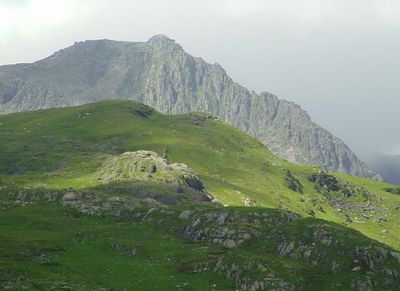
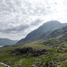
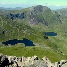
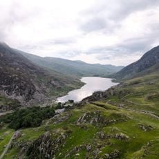
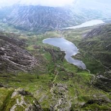
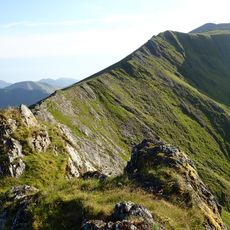
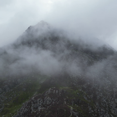
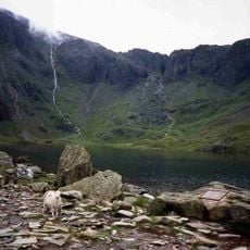
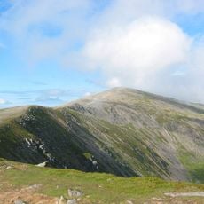
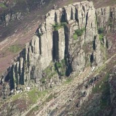
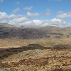
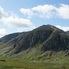
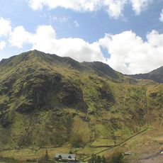
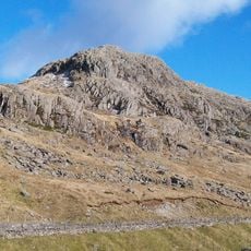
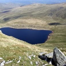
Glyder Fach is a mountain summit in the Glyderau range that rises to 994 meters and commands views across surrounding peaks and valleys. The upper slopes consist of exposed rock and scree, creating a rugged terrain that changes with weather and season.

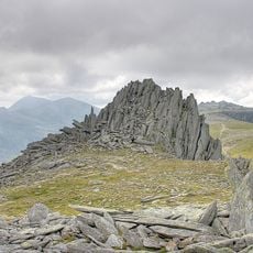
The name derives from the Welsh word 'Gludair', which describes the large accumulation of stones scattered across the summit. These stone piles have shaped the mountain's appearance for centuries.

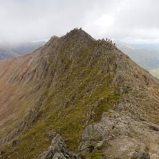
The distinctive rock towers here have woven themselves into local Welsh stories and folklore passed down through generations. Today, visitors find these formations create a sense of place that feels tied to the land's past and character.

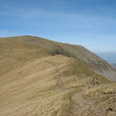
Various trails reach the summit, ranging from straightforward walks to scrambles requiring hand-and-foot climbing. Sturdy footwear and weatherproof clothing are essential, as conditions can change rapidly due to wind and mist.

The summit features a peculiar balanced rock formation called Y Gwyliwr, which sits atop a substantial pile of weathered stones. This precarious structure has remained remarkably stable over decades, intriguing visitors who wonder how it stays in place.

The community of curious travelers

AroundUs brings together thousands of curated places, local tips, and hidden gems, enriched daily by 60,000 contributors worldwide.

Start exploring
Elevation above the sea
994 m
GPS coordinates
53.10483,-4.00838
Latest update
December 10, 2025 16:02
« Glyder Fach - Mountain summit in Conwy County Borough, United Kingdom » is provided by Around Us (aroundus.com). Images and texts are derived from Wikimedia project under a Creative Commons license. You are allowed to copy, distribute, and modify copies of this page, under the conditions set by the license, as long as this note is clearly visible.

Discover hidden gems everywhere you go!

From secret cafés to breathtaking viewpoints, skip the crowded tourist spots and find places that match your style. Our app makes it easy with voice search, smart filtering, route optimization, and insider tips from travelers worldwide. Download now for the complete mobile experience.

Around Us App Screenshot

A unique approach to discovering new places

Le Figaro

All the places worth exploring

France Info

A tailor-made excursion in just a few clicks

20 Minutes

Around Us
Travel Guide & Maps
Download

Send to your phone

QR Code
1

Open the camera app on your mobile.

2

Point at the QR code with your camera. A notification will appear.

3

Tap the notification to open the link.