Y Foel Goch, Mountain summit in Conwy County Borough, Wales
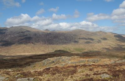
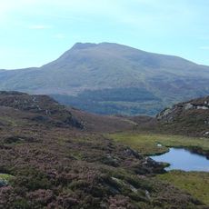
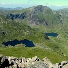
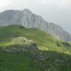
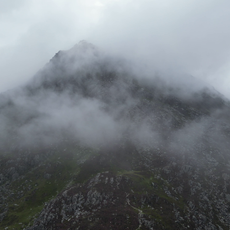
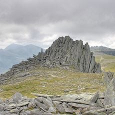
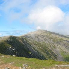
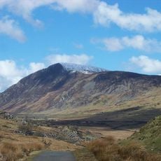
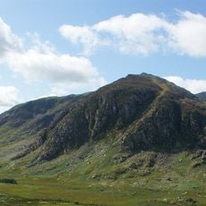
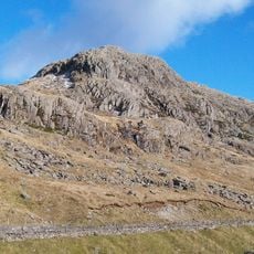
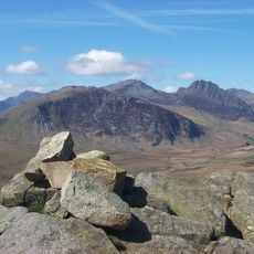
Y Foel Goch is a mountain summit in Conwy County Borough reaching 805 meters, with grassy slopes and scattered rocks dotting the terrain. A small cairn sits at the peak, marking the highest point and visible from nearby hills.
The mountain sits within what was historically Caernarfonshire until 1996, when administrative boundaries were redrawn and the area became part of Conwy County Borough. The landscape itself remained unchanged despite these administrative shifts.
The Welsh name translates to 'red bold hill', reflecting how local names describe the visual appearance of the landscape. This naming tradition is common throughout the region, where geographical features take their names from what people actually see.
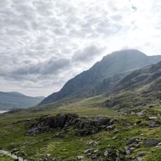
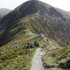
Hikers can reach the summit via established trails that connect to nearby peaks including Gallt yr Ogof and Glyder Fach. Using OS Landranger map 115 helps with navigation across the route and surrounding ridges.
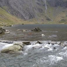
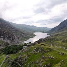
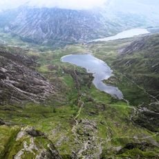
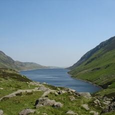
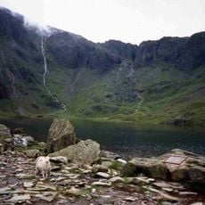
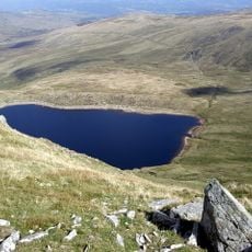
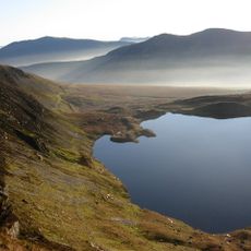
Between Glyder Fach and this summit lies Llyn Caseg-fraith lake, whose waters mirror the reflection of nearby Tryfan mountain. This natural mirror creates a striking visual effect on clear days.
The community of curious travelers
AroundUs brings together thousands of curated places, local tips, and hidden gems, enriched daily by 60,000 contributors worldwide.