Sgiath Chùil, Mountain summit in Stirling, Scotland
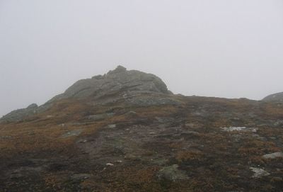
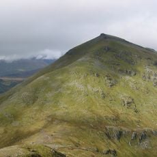
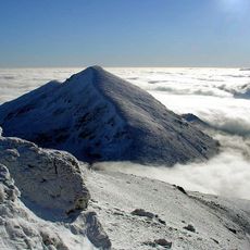
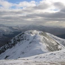
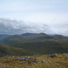
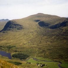
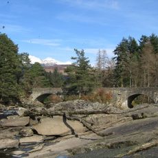
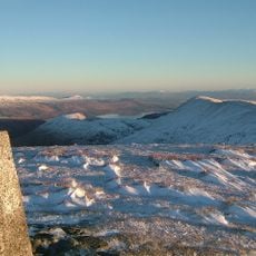
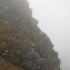
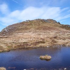
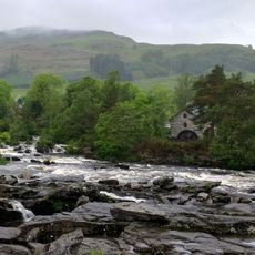
Sgiath Chùil is a mountain summit in Stirling, Scotland, rising to 921 meters with a small crag at its peak and steep slopes on either side. The mountain sits between Glen Dochart and Glen Lochay, positioned within the boundaries of Loch Lomond and Trossachs National Park.
The mountain was initially misclassified in Sir Hugh Munro's 1891 list, with a neighboring peak incorrectly identified as higher until measurements were clarified in 1921. This correction established the mountain's proper status among Scotland's notable summits.
The Gaelic name translates to 'back wing', a poetic description that reflects how local people historically named their landscape features. This linguistic heritage remains visible today through how locals and hikers refer to the mountain.
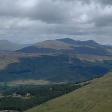
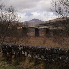
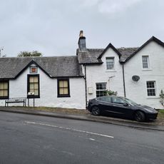
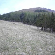
The mountain can be accessed via two main routes starting from either Glen Dochart or Glen Lochay, both requiring competent navigation skills. Visitors should prepare for variable weather conditions and bring appropriate navigation aids and sturdy footwear.
The mountain stands with a prominence of 312 meters above the surrounding Highland landscape and is entirely contained within Loch Lomond and Trossachs National Park. This location gives it special significance within the park's network of summits.
The community of curious travelers
AroundUs brings together thousands of curated places, local tips, and hidden gems, enriched daily by 60,000 contributors worldwide.