Enable Location

We need your location to show you interesting places around you

Discover nearby places

Find interesting locations and hidden gems around you

Precise directions

Get accurate directions and distances to places

Your location is never shared with other users. It's only used when you tap the location button.

Sgùrr na Lapaich

Log in to your account

Start exploring — it's free

Trusted by 61,512 travelers worldwide

Continue with Google
Continue with Apple
or

We will send you a code to connect

By continuing, you accept our Terms and Conditions and our Privacy Policy

Check your inbox

We've sent a pincode in your inbox. Please enter the code below.

Sgùrr na Lapaich

Sgùrr na Lapaich, Mountain summit in Northwest Highlands, Scotland

Description

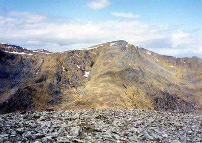
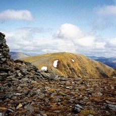
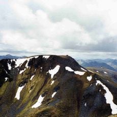
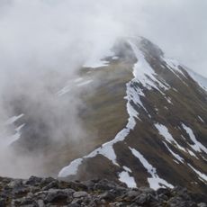
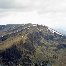
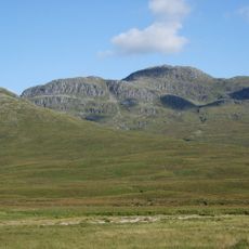
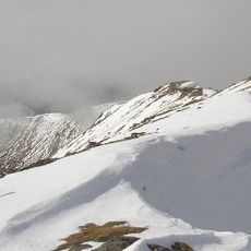
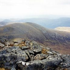
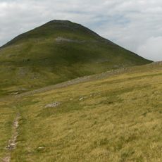
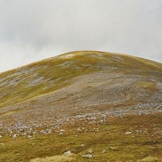
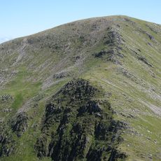
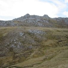
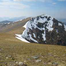
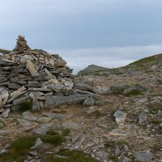
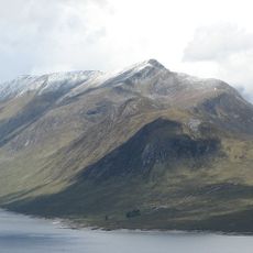
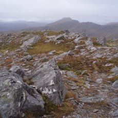
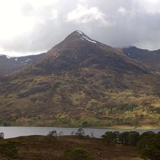
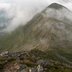
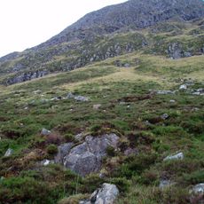
Sgùrr na Lapaich is a mountain summit reaching approximately 1151 meters with steep rocky slopes and multiple deep corries cutting into its ridges. A large boulder sits roughly 15 meters east of the triangulation point at the top.

History

The mountain served as a key reference point for Ordnance Survey mapping of Ross & Cromarty county during Scotland's early mapping period. Surveyors used its prominent position to establish triangulation points across the region.

Culture

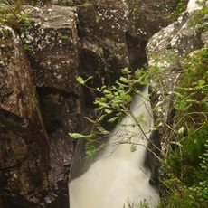
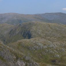
The Gaelic name means 'Peak of the Bog', though the mountain consists mainly of long ridges, rocky terrain, and deep corries scattered across its slopes. The name reflects the moorland character of the surrounding landscape rather than the summit itself.

Practical

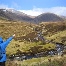
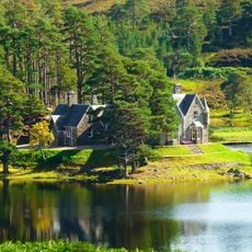
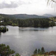
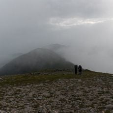
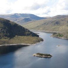
Parking is available near Loch Mullardoch dam, with a several-hour walk following unmarked paths along the loch's northern shore. The terrain is demanding and hikers should carry proper equipment and navigation skills for the journey.

Did you know?

The summit ranks as the fourth-highest mountain north of the Great Glen, with no higher ground existing anywhere further north in Great Britain. This geographical distinction makes it a notable landmark when exploring the region.

Location
Elevation above the sea
1,151 m
Part of
Northwest Highlands
GPS coordinates
57.36928,-5.06002
Latest update
December 14, 2025 11:21

AroundUs brings together thousands of curated places, local tips, and hidden gems, enriched daily by 60,000 contributors worldwide. Discover all places nearby (Highland).

« Sgùrr na Lapaich - Mountain summit in Northwest Highlands, Scotland » is provided by Around Us (aroundus.com). Images and texts are derived from Wikimedia project under a Creative Commons license. You are allowed to copy, distribute, and modify copies of this page, under the conditions set by the license, as long as this note is clearly visible.

Discover hidden gems everywhere you go!

From secret cafés to breathtaking viewpoints, skip the crowded tourist spots and find places that match your style. Our app makes it easy with voice search, smart filtering, route optimization, and insider tips from travelers worldwide. Download now for the complete mobile experience.

Around Us App Screenshot

A unique approach to discovering new places

Le Figaro

All the places worth exploring

France Info

A tailor-made excursion in just a few clicks

20 Minutes

Around Us
Travel Guide & Maps
Download

Send to your phone

QR Code
1

Open the camera app on your mobile.

2

Point at the QR code with your camera. A notification will appear.

3

Tap the notification to open the link.