Càrn Eige, Mountain summit in Northwest Highlands, Scotland
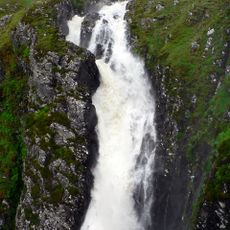
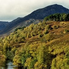
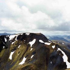
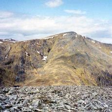
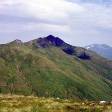
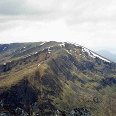
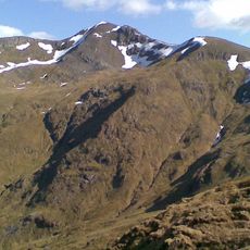
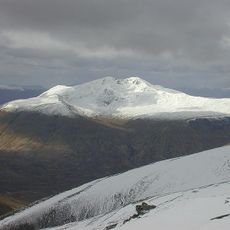
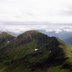
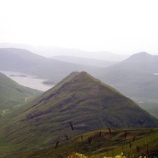
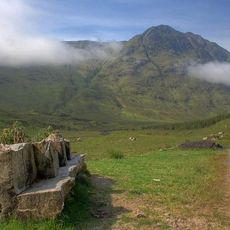
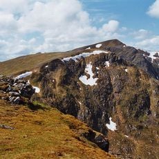
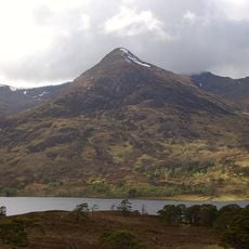
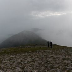
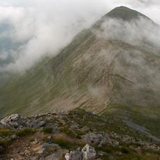
Càrn Eige is a mountain summit in the Northwest Highlands rising to 1183 meters above sea level, with a sharp pyramid-like shape where three ridges converge. The peak stands as a prominent landmark in the wilderness north of the Great Glen.
The first recorded ascent occurred in 1848 when Colonel Winzer of the Ordnance Survey explored the summit. The mountain was later included in Munro's Tables, which from 1891 catalogued Scotland's highest peaks.
The Gaelic name means 'notch peak' or 'cleft hill', showing how Scottish tradition named landmarks based on their visible shape. This naming reflects how people once described what they saw in the land around them.
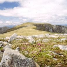
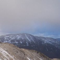
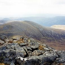
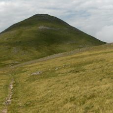
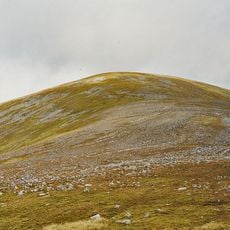
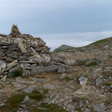
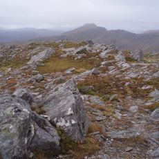
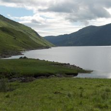
The complete hiking circuit from Loch Affric takes about 9 to 10 hours and covers more than 10 kilometers from the nearest road access. The terrain demands good footwear and sure-footedness, especially on the exposed ridges.
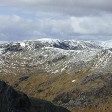
The mountain holds the second-highest topographic prominence in the British Isles, measuring 1147 meters from its base to its summit. Only Ben Nevis exceeds this measurement, making it a geological standout in the region.
The community of curious travelers
AroundUs brings together thousands of curated places, local tips, and hidden gems, enriched daily by 60,000 contributors worldwide.