
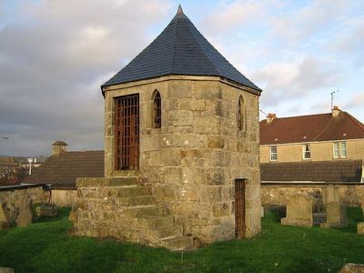
Kilsyth, Howe Street, Burial-ground, 18th-century bural ground in Kilsyth, North Lanarkshire, Scotland, UK
Location: North Lanarkshire
Location: Kilsyth
GPS coordinates: 55.97060,-4.05756
Latest update: March 9, 2025 04:10
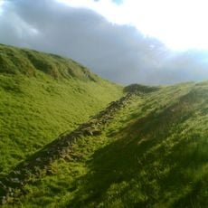
Antonine Wall
712 m
The Centre Cumbernauld
5 km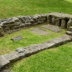
Bar Hill Roman fort
1.6 km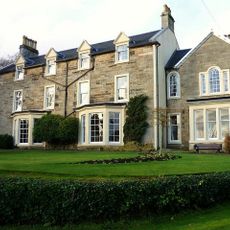
Colzium
1.9 km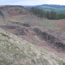
Croy Hill Roman fort
1.7 km
Guy's Meadow
4.8 km
Auchendavy Roman fort
4.5 km
Cumbernauld College campus
5.1 km
Market Chambers, Kilsyth
649 m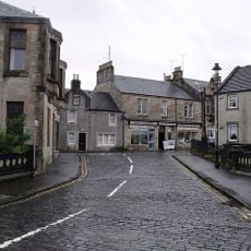
48–50 Market Street, Kilsyth
671 m
Kilsyth Parish Church
597 m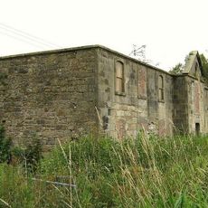
Kilsyth, Forth And Clyde Canal, Craigmarloch Stables
2.1 km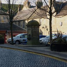
Pump, Market Square, Kilsyth
640 m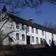
Garrel Mill
1.2 km
Kilsyth, Garrel Mill House
1.2 km
Bar Hill, Roman temporary camp SW of
1.8 km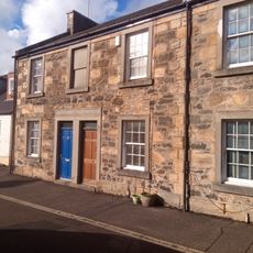
78-82 Main Street, Cumbernauld Village
5.1 km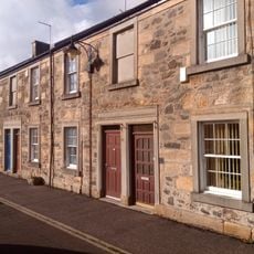
74-76 Main Street, Cumbernauld Village
5.1 km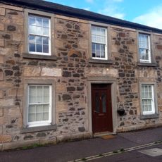
72 Main Street, Cumbernauld Village
5.1 km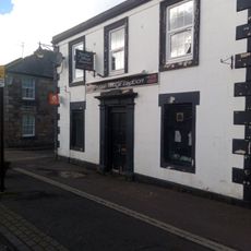
70 Main Street, Cumbernauld Village
5.1 km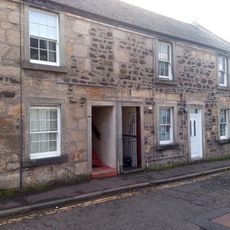
3-7 Smithyends, Cumbernauld Village
5.1 km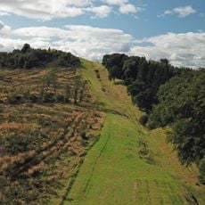
Antonine Wall, Bar Hill, rampart, ditch, fort and Military Way
1.5 km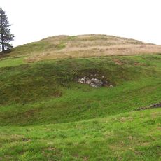
Castle Hill
1.3 km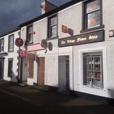
64-68 Main Street, Cumbernauld Village
5.1 km
Colzium Lennox Estate
1.9 km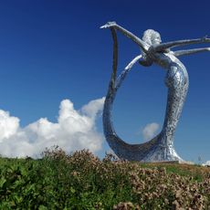
Arria by Andy Scott
4.2 km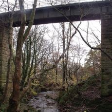
Garrel Viaduct
1.3 km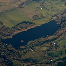
Banton Loch
2.6 kmVisited this place? Tap the stars to rate it and share your experience / photos with the community! Try now! You can cancel it anytime.
Discover hidden gems everywhere you go!
From secret cafés to breathtaking viewpoints, skip the crowded tourist spots and find places that match your style. Our app makes it easy with voice search, smart filtering, route optimization, and insider tips from travelers worldwide. Download now for the complete mobile experience.

A unique approach to discovering new places❞
— Le Figaro
All the places worth exploring❞
— France Info
A tailor-made excursion in just a few clicks❞
— 20 Minutes