Brough of Birsay Lighthouse, Coastal lighthouse in Brough of Birsay, Scotland
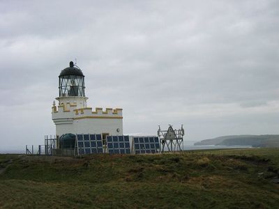
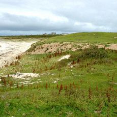
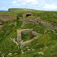
Brough of Birsay Lighthouse is a white cylindrical tower with a black lantern and ochre trim standing 11 meters tall on the northeastern tip of Orkney mainland, topped with a castellated balcony. The structure sits on an island accessible by a tidal causeway and contains archaeological layers from different historical periods beneath and around it.
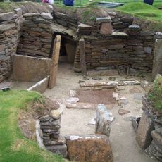
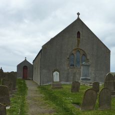
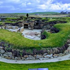
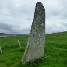
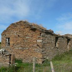
The lighthouse was designed by architect David A. Stevenson in 1925 as part of a broader effort to mark treacherous northern shipping routes near the Atlantic. Before the tower was built, the island had hosted Viking settlements and Pictish communities whose archaeological remains still rest beneath the surrounding ground.
The lighthouse represents the maritime traditions of the Orkney Islands and serves as a tangible connection to the seafaring heritage that shaped these northern communities. Visitors experience it as a working symbol of how people have navigated these waters for centuries, blending past and present navigation methods.
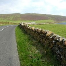
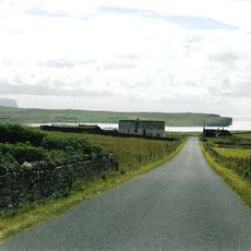
Access to the island depends on tidal conditions, as visitors can only cross the causeway safely during low water periods when the sand flats are exposed. Plan your visit around tide tables and wear sturdy footwear, as the crossing can be wet and muddy even at low tide.
The lighthouse operates entirely on renewable energy, powered by 36 solar panels and 4 wind turbines that feed into batteries and a backup generator. This self-sufficient setup allows the beacon to function independently on this remote island without relying on external power sources.
The community of curious travelers
AroundUs brings together thousands of curated places, local tips, and hidden gems, enriched daily by 60,000 contributors worldwide.