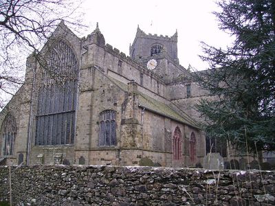
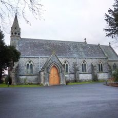
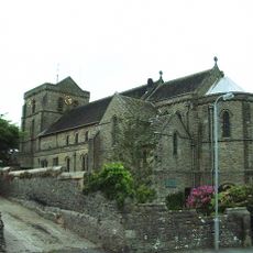
Cartmel Priory, Augustinian priory in Lower Allithwaite, England.
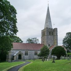
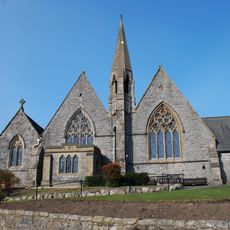
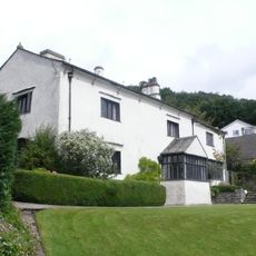
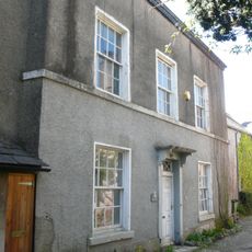
Cartmel Priory is an Augustinian monastery in the Cumbrian landscape featuring medieval architecture, stone walls, and intricate details in the vaulting and archways. The building comprises interconnected spaces including the Great Room, church, and residential quarters that demonstrate the layout of a typical priory complex.
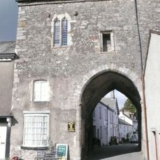
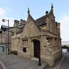
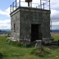
The monastery was founded in 1101 and survived the Dissolution of the Monasteries in the 16th century, making it one of the few religious buildings to remain largely intact. A fortified gatehouse was added in the 14th century in response to raids, reflecting how the site's defensive needs evolved during the medieval period.
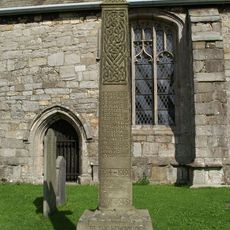
The priory functioned as a hub of monastic life for centuries, and its layout reveals how monks, guests, and later schoolchildren moved through the spaces. The different rooms tell the story of how the building adapted to serve changing community needs over time.
The site is best explored on foot, as many areas feature narrow medieval passages and stairs that require careful navigation. It's advisable to wear comfortable shoes and allow enough time to move through the different rooms and levels at a leisurely pace.
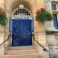
The 14th-century gatehouse served multiple functions with chambers dedicated to monitoring visitors and confining offenders. The original rooms reveal how the monastery managed both hospitality and discipline within its walls.
Location: Lower Allithwaite
Inception: 12 century
Website: http://cartmelpriory.org.uk
GPS coordinates: 54.20111,-2.95222
Latest update: December 6, 2025 16:04
Holker Hall
2.5 km
Grange Over Sands Lido
3 km
St Mary's Church, Allithwaite
2.1 km
Cartmel Priory Gatehouse
162 m
St Peter's Church, Field Broughton
3.1 km
St Paul Parish Church, Grange-over-Sands
2.9 km
St John the Baptist's Church, Flookburgh
3.1 km
Crown Inn
3.2 km
Cartmel War Memorial
26 m
Priory Hotel
130 m
Clock Tower
2.9 km
Flookburgh War Memorial
3.1 km
Grange-over-Sands Bandstand
2.9 km
Guidestone Appproximately 7 Metres South West Of Junction With Templands Road
426 m
Milestone Approximately 100 Metres To West Of Longlands Farm
1.6 km
Hardcragg Hall
2.7 km
Barclays Bank
3 km
Council Offices Victoria Hall Including Attached Offices And Restaurant
3 km
Cross At Headless Cross To North Of Junction
406 m
Cross And Fish Stone
163 m
Guide Stone Approximately 7 Metres From Junction At Headless Cross
435 m
Footbridge Over Railway At Cark And Cartmel Station
2.9 km
Great Holker Lime
2.7 km
Hampsfell Hospice
2 km
Priory Close House
55 m
Guidestone, Borwicks Aynsome, junction of Wood Broughton and Cartmel
799 m
Guidestone At Corner Of The Causeway Approximately 7 Metres South Of St Marys Lodge
132 m
Kiln At Sd 4082 7826 To The East Of Hillside Cottage And To The South Of Sandyfield
2.9 kmVisited this place? Tap the stars to rate it and share your experience / photos with the community! Try now! You can cancel it anytime.
Discover hidden gems everywhere you go!
From secret cafés to breathtaking viewpoints, skip the crowded tourist spots and find places that match your style. Our app makes it easy with voice search, smart filtering, route optimization, and insider tips from travelers worldwide. Download now for the complete mobile experience.
A unique approach to discovering new places❞
— Le Figaro
All the places worth exploring❞
— France Info
A tailor-made excursion in just a few clicks❞
— 20 Minutes