
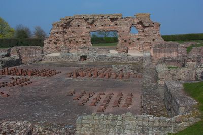
Site of Roman town of Wroxeter, archaeological site in Wroxeter and Uppington, Shropshire, England, UK
Location: Wroxeter and Uppington
GPS coordinates: 52.67470,-2.64412
Latest update: March 2, 2025 19:50
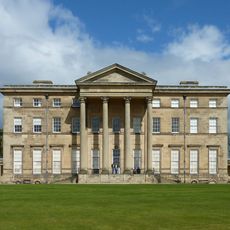
Attingham Park
1.9 km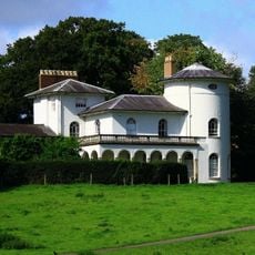
Cronkhill
3 km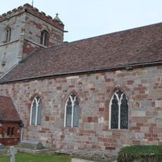
St Andrew's Church, Wroxeter
553 m
Longner Hall
4.3 km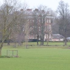
Cound Hall
3.5 km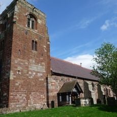
St Eata's Church, Atcham
2.5 km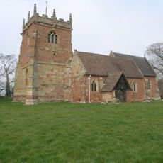
St Peter's Church, Cound
3.8 km
The Mytton and Mermaid Hotel
2.5 km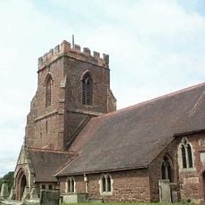
All Saints Church, Berrington
4 km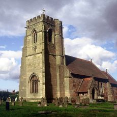
Church of St Lucia
3.9 km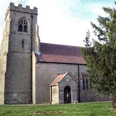
Church of the Holy Trinity
3.2 km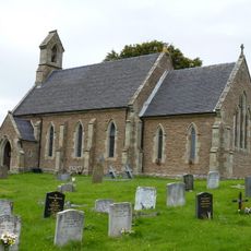
Church of St Mary
4 km
The Old Post Office
490 m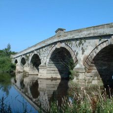
Atcham Bridge
2.6 km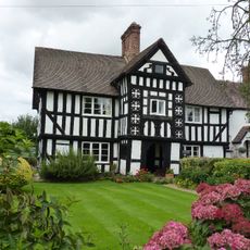
2, Uppington
3.3 km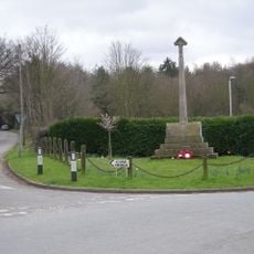
Cound War Memorial
3.7 km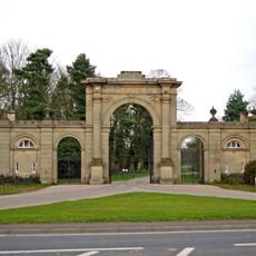
Entrance Screen And East And West Front Lodges To Attingham Park
2.4 km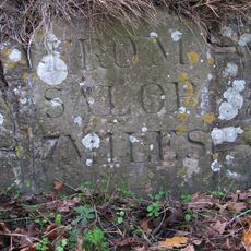
Milestone Approximately 60 Metres To West Of Harnage House
4.4 km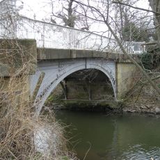
Cound Arbour Bridge
3.7 km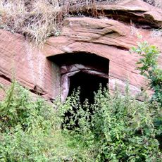
Ice House Approximately 200 Metres To North West Of Lower Eyton
3 km
Number 1 (tudor House) And Part Of Number 2
3.3 km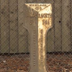
Milepost Approximately 50 Metres To North Of Number 39, Venusbank
3 km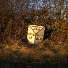
Milestone Approximately 10 Metres To North-West Of Emstrey Cottages
4 km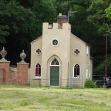
Back Lodge
2.7 km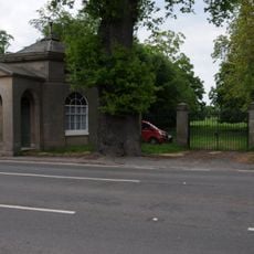
Tern Lodge And Adjoining Wall
1.2 km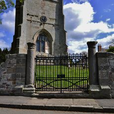
Churchyard gates, gate piers and approximately 3 metres of flanking walls approximately 10 metres to west of west tower of Church of St Andrew
564 m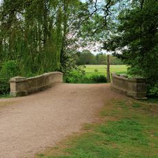
Estate Bridge Approximately 120 Metres To South East Of Attingham Park
1.8 km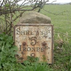
Milestone, 260m NW Wroxeter crossroads
335 mReviews
Visited this place? Tap the stars to rate it and share your experience / photos with the community! Try now! You can cancel it anytime.
Discover hidden gems everywhere you go!
From secret cafés to breathtaking viewpoints, skip the crowded tourist spots and find places that match your style. Our app makes it easy with voice search, smart filtering, route optimization, and insider tips from travelers worldwide. Download now for the complete mobile experience.

A unique approach to discovering new places❞
— Le Figaro
All the places worth exploring❞
— France Info
A tailor-made excursion in just a few clicks❞
— 20 Minutes