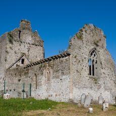
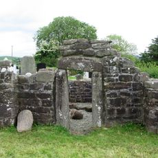
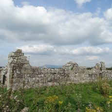
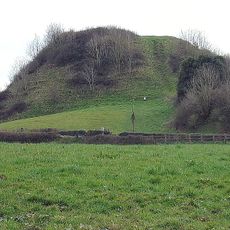
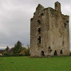
Coolagarranroe, electoral district in South Tipperary, Ireland
Location: South Riding of Tipperary
GPS coordinates: 52.32346,-8.13975
Latest update: May 29, 2025 21:08
Cahir Castle
15.5 km
Galtymore
5.4 km
Mitchelstown Castle
11.1 km
Swiss Cottage
15.2 km
Knockmealdown
18.6 km
Athassel Priory
20.3 km
Ardfinnan Castle
17.7 km
Mitchelstown Cave
4.3 km
Shanbally Castle
7.4 km
Sugarloaf Hill
15.9 km
Galtee Castle
2.3 km
St. Berrihert's Kyle
10.2 km
Lyracappul
7.2 km
Burncourt Castle
5 km
Temple Hill
7.7 km
Moor Abbey
12.9 km
Cahir Priory
15.7 km
Labbamolaga
14.2 km
Kileenemer Church
17.6 km
Duntryleague
15.5 km
Knockgraffon Motte and Bailey
17.2 km
Knockgraffon Castle
17.7 km
Maid of Erin
16.8 km
Aghacross Church
18.7 km
Church of Our Lady and St. Kieran, Ballylooby
10.6 km
St Paul's Church, Cahir
15.8 km
Goat's Bridge
19 km
Kickham Band Hall
16.9 kmReviews
Visited this place? Tap the stars to rate it and share your experience / photos with the community! Try now! You can cancel it anytime.
Discover hidden gems everywhere you go!
From secret cafés to breathtaking viewpoints, skip the crowded tourist spots and find places that match your style. Our app makes it easy with voice search, smart filtering, route optimization, and insider tips from travelers worldwide. Download now for the complete mobile experience.
A unique approach to discovering new places❞
— Le Figaro
All the places worth exploring❞
— France Info
A tailor-made excursion in just a few clicks❞
— 20 Minutes