
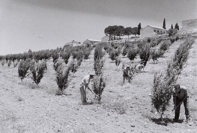
Kfar Etzion, Israeli settlement in the West Bank.
Location: Gush Etzion Regional Council
Inception: 1927
Founders: Yemenite Jews
Elevation above the sea: 955 m
Website: http://kfar-etzion.co.il
GPS coordinates: 31.65000,35.11667
Latest update: May 2, 2025 06:16
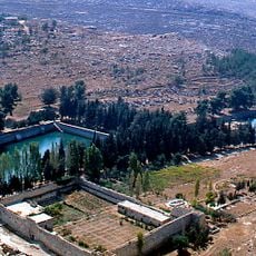
Solomon's Pools
6.6 km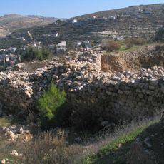
Betar
9.1 km
Elazar
2.6 km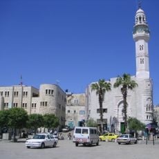
Mosque of Omar
10.4 km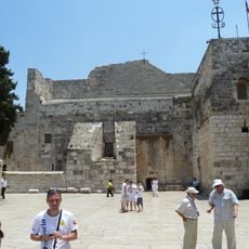
Birthplace of Jesus: Church of the Nativity and the Pilgrimage Route, Bethlehem
10.5 km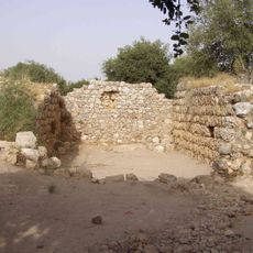
Hirbat Hanut
9.6 km
Beth-zur
7.6 km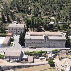
Cremisan
10.1 km
Gush Etzion Well's Aqueduct
2.8 km
Presidential palace of Bethlehem
9.8 km
Christmas Church
10.2 km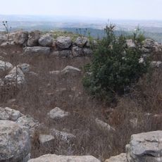
Khirbet et-Tibbaneh
8.4 km
Baituna al-Talhami Museum
10.4 km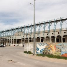
Al-Khader Stadium
7.4 km
Umm er Rus
10 km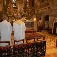
Carmel of Bethlehem
9.9 km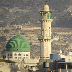
المسجد العمري الكبير
5 km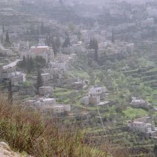
Palestine: Land of Olives and Vines – Cultural Landscape of Southern Jerusalem, Battir
7.9 km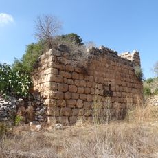
Crusader Church
9.7 km
Sa‘īr
8.3 km
Nūbā
9 km
Ash Shuyūkh
9.7 km
Naḩḩālīn
4 km
Jālā
5.3 km
Maghārat aḑ Ḑab‘ (langub, lat 31,67, long 35,08)
4 km
Al Ma‘şarah
6 km
Al Manshīyah
7.4 km
Maghārat al Matārisīyah
5 kmReviews
Visited this place? Tap the stars to rate it and share your experience / photos with the community! Try now! You can cancel it anytime.
Discover hidden gems everywhere you go!
From secret cafés to breathtaking viewpoints, skip the crowded tourist spots and find places that match your style. Our app makes it easy with voice search, smart filtering, route optimization, and insider tips from travelers worldwide. Download now for the complete mobile experience.

A unique approach to discovering new places❞
— Le Figaro
All the places worth exploring❞
— France Info
A tailor-made excursion in just a few clicks❞
— 20 Minutes