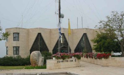
Gush Etzion Regional Council, Regional council in northern Judean Hills, West Bank.
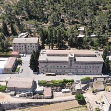
Gush Etzion Regional Council is an administrative body governing a group of settlements spread across the northern Judean Hills. It manages schools, roads, and community services that connect these communities together in the region.
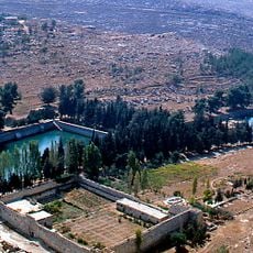
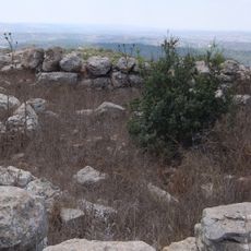
The region came under control during the 1967 conflict and was later organized into its current administrative structure. Since then, management has focused on developing and operating these settlements in the hilly terrain.
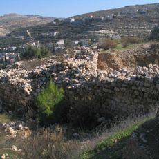
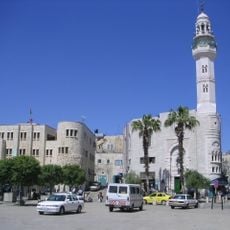
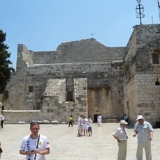
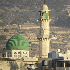
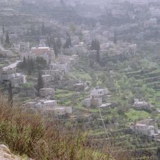
The settlements under this council's administration reflect strong community bonds and religious traditions visible in schools and public spaces. Local events and communal gatherings shape daily life and show how residents maintain their cultural identity.
The area is connected by bus routes to surrounding towns, with several checkpoints managing access to the region. Travelers should expect longer journey times and take local conditions into account.
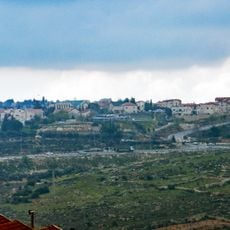
The settlements administered by this council span both sides of the West Bank Barrier, creating an unusual administrative arrangement. This geographic division shapes how residents navigate between different parts of their region on a daily basis.
Location: Judea and Samaria Area
Location: West Bank
Capital city: Alon Shvut
Website: http://baitisraeli.co.il
GPS coordinates: 31.65778,35.12078
Latest update: December 7, 2025 20:43
Solomon's Pools
5.8 km
Betar
8.2 km
Elazar
2 km
Mosque of Omar
9.5 km
Birthplace of Jesus: Church of the Nativity and the Pilgrimage Route, Bethlehem
9.7 km
Hirbat Hanut
9.2 km
Beth-zur
8.5 km
Cremisan
9.1 km
Gush Etzion Well's Aqueduct
2.3 km
Presidential palace of Bethlehem
9 km
Christmas Church
9.4 km
Khirbet et-Tibbaneh
8.3 km
Organo della Chiesa della Natività
9.7 km
Baituna al-Talhami Museum
9.5 km
Al-Khader Stadium
6.4 km
Carmel of Bethlehem
9.1 km
المسجد العمري الكبير
5.4 km
Palestine: Land of Olives and Vines – Cultural Landscape of Southern Jerusalem, Battir
7 km
Crusader Church
9.3 km
Sa‘īr
9 km
Jālā
6.1 km
Naḩḩālīn
3.1 km
Maghārat aḑ Ḑab‘ (langub, lat 31,67, long 35,08)
4 km
Al Ma‘şarah
5.6 km
Al Manshīyah
7.2 km
Maghārat al Matārisīyah
4.1 km
Maghārat Wādī Sālim
3.1 km
Maghārat Shi‘b al Qandūl
3.6 kmVisited this place? Tap the stars to rate it and share your experience / photos with the community! Try now! You can cancel it anytime.
Discover hidden gems everywhere you go!
From secret cafés to breathtaking viewpoints, skip the crowded tourist spots and find places that match your style. Our app makes it easy with voice search, smart filtering, route optimization, and insider tips from travelers worldwide. Download now for the complete mobile experience.
A unique approach to discovering new places❞
— Le Figaro
All the places worth exploring❞
— France Info
A tailor-made excursion in just a few clicks❞
— 20 Minutes