
Shurab Waterfall, waterfall in Savadkuh County, Iran
Location: Rastupey Rural District
Elevation above the sea: 1,960 m
GPS coordinates: 35.86228,52.95925
Latest update: March 2, 2025 23:11

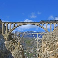
Veresk Bridge
5.4 km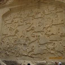
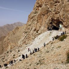
Tang-e Vashi relief
21 km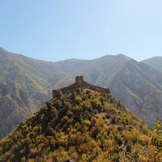
Kangelo Castle
19.6 km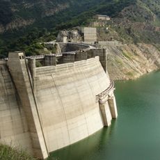
Shahid Rajaee Dam
49.4 km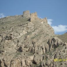
Firuzkuh Castle
21.4 km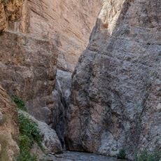
Vashi Canyon
21 km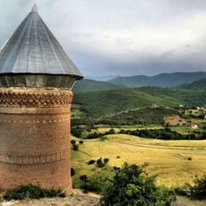
Resket Tower
39.9 km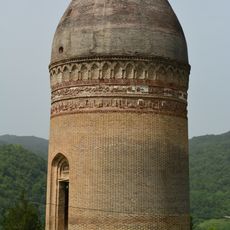
Lajim Tower
45.7 km
Rudafshan Cave
47.8 km
Alborz Dam
42.8 km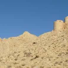
Lion Castle (Shahmirzad)
33.1 km
Burnik Cave
31.1 km
كنيسة سرخ أباد
10.8 km
Ghoghnoos Tower
48.7 km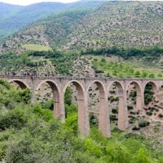
Kalantari Bridge
19.4 km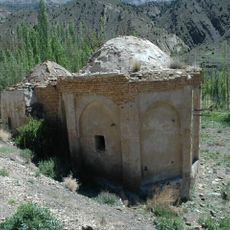
Imamzadeh Taj al-Din (Parvar)
49.3 km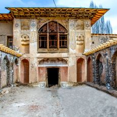
Ibrahim Khan Mansion
45.2 km
Darband Cave
37.6 km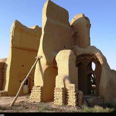
Jameh Mosque of Zavqan
49.1 km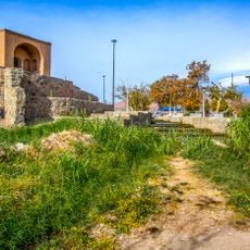
Para
48 km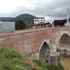
Shah Abbas Bridge
49.3 km
Mahmud Mazdaqani Mausoleum
46.7 km
Al-Mahdi Hussainiya
39.4 km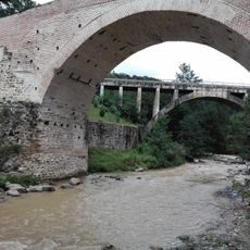
Shirgah Railway Bridge (Kaslian River)
49.3 km
Imamzadeh Kazem (Parvar)
49.4 km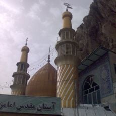
Imamzadeh Ismail (Firuzkuh)
21.2 km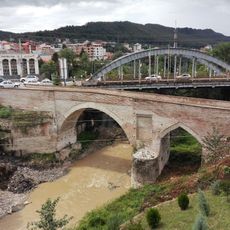
Shirgah Metal Bridge
49.3 kmVisited this place? Tap the stars to rate it and share your experience / photos with the community! Try now! You can cancel it anytime.
Discover hidden gems everywhere you go!
From secret cafés to breathtaking viewpoints, skip the crowded tourist spots and find places that match your style. Our app makes it easy with voice search, smart filtering, route optimization, and insider tips from travelers worldwide. Download now for the complete mobile experience.

A unique approach to discovering new places❞
— Le Figaro
All the places worth exploring❞
— France Info
A tailor-made excursion in just a few clicks❞
— 20 Minutes