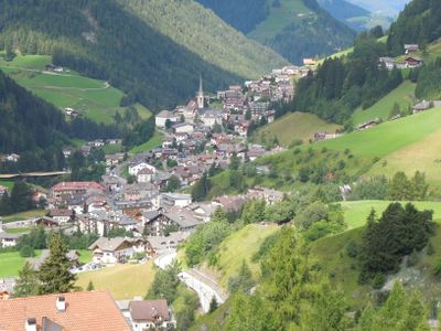
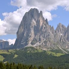
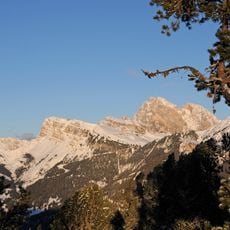
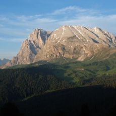
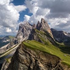
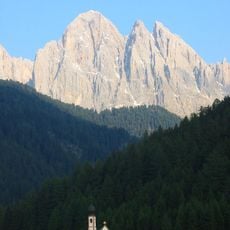
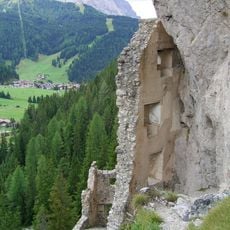
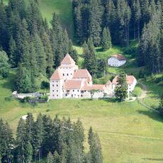
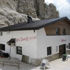
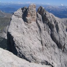
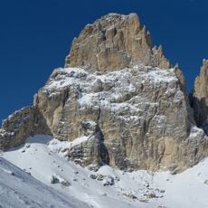
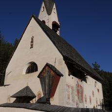
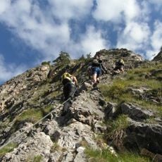
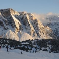
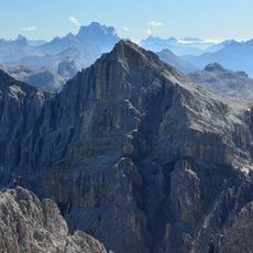
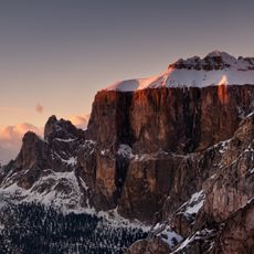
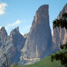
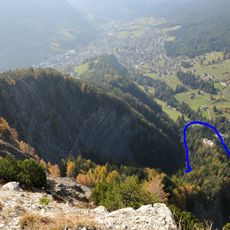
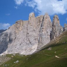
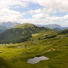
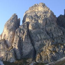
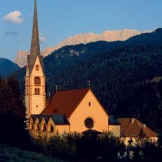
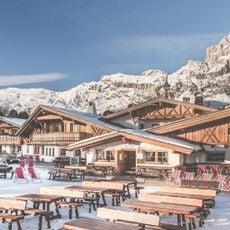
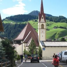
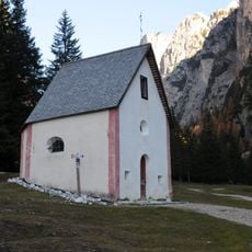
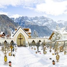
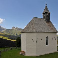
Santa Cristina Gherdëina, municipality in South Tyrol, Italy
Location: South Tyrol
Capital city: Santa Cristina Gherdëina
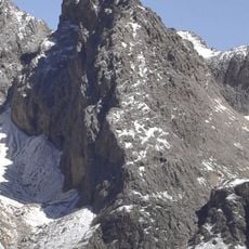
Elevation above the sea: 1,428 m
Shares border with: Kastelruth, Villnöß, Urtijëi, San Martin de Tor, Sëlva, Campitello di Fassa
Website: http://comune.santacristina.bz.it
GPS coordinates: 46.55907,11.71549
Latest update: March 3, 2025 02:11
Saslonch
4.1 km
Secëda
4.7 km
Sas Plat
5 km
Puez-Geisler Nature Park
4.7 km
Sas Rigais
6.8 km
Castle Wolkenstein
4.1 km
Fischburg
1.4 km
Toni-Demetz-Hütte
5.3 km
Gardena Ronda Express funicular
1.2 km
Furchëta
7.4 km
Sas da Duman
5.6 km
St. Jacob
2.3 km
Sandro Pertini via ferrata
6.7 km
Stevia
4.4 km
Piz Duleda
7.7 km
Piz Ciavazes
7.5 km
Dënt
5.5 km
Castle Stetteneck
3 km
Ferrata delle Mèsules
7.2 km
Pic
2.5 km
Gran Fermeda
5.6 km
Parish church of Santa Cristina Gherdëina
10 m
Col Raiser
2.5 km
Assumption of Mary
3.4 km
San Silvester
4.9 km
Sas dla Porta
7.2 km
Cemetery of Sëlva
3.5 km
Marienkapelle Seiser Alm
5.7 kmReviews
Visited this place? Tap the stars to rate it and share your experience / photos with the community! Try now! You can cancel it anytime.
Discover hidden gems everywhere you go!
From secret cafés to breathtaking viewpoints, skip the crowded tourist spots and find places that match your style. Our app makes it easy with voice search, smart filtering, route optimization, and insider tips from travelers worldwide. Download now for the complete mobile experience.
A unique approach to discovering new places❞
— Le Figaro
All the places worth exploring❞
— France Info
A tailor-made excursion in just a few clicks❞
— 20 Minutes