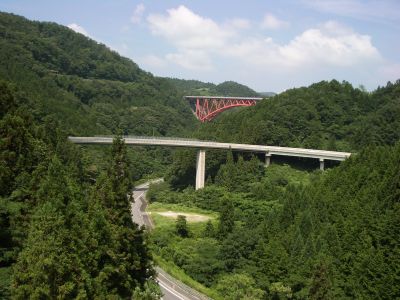
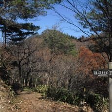
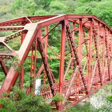
Okuizumo Orochi Loop, Spiral bridge in Okuizumo, Japan
The Okuizumo Orochi Loop is a spiral bridge system that stretches for 2360 meters, combining 11 individual bridge spans and 3 tunnels to descend a height difference of 105 meters. The entire structure forms part of National Route 314 and allows traffic to navigate the steep mountain terrain through a continuous, ascending and descending spiral pattern.
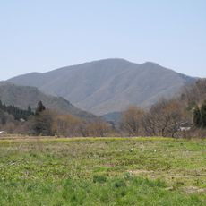
The bridge system was developed as part of infrastructure efforts to connect Hiroshima and Shimane prefectures through this mountainous region via National Route 314. The project aimed to improve access to remote mountain areas that were previously difficult to traverse.
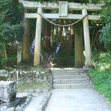
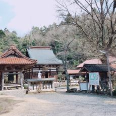
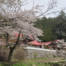
The bridge takes its name from Yamata no Orochi, an eight-headed serpent in Japanese mythology, reflecting how the road winds dramatically through the mountain landscape. This naming choice makes the structure feel connected to local folklore as you travel through it.
The easiest way to reach the site is by JR Kisuki Line to Miinohara Station, followed by a 15-minute walk, or you can drive about 50 minutes from Tojo or Shobara interchange. A rest area with parking is conveniently located along the route, making it a good place to stop during your journey.
The double-loop road system features an iron sculpture museum nearby that visitors often overlook while focusing on the engineering itself. This artistic attraction adds an unexpected cultural dimension to what appears to be simply a transportation landmark.
The community of curious travelers
AroundUs brings together thousands of curated places, local tips, and hidden gems, enriched daily by 60,000 contributors worldwide.