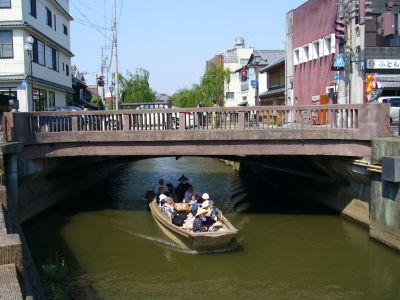
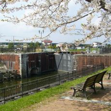
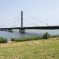
Chūkei Bridge, Concrete road bridge in Katori, Japan
Chūkei Bridge is a concrete road bridge that crosses the Ono River and connects different sections of the Katori district. It sits at the heart of the historic Sawara town, serving as a key passage for both pedestrians and vehicles.
The bridge was completed in 1961 and marks an important point in the development of the Katori district. It emerged as part of the modern infrastructure that connected historic Sawara with surrounding areas.
The bridge name connects to Kashima and Katori Shrines, religious sites dedicated to military deities that influenced the regional development of northeastern Japan.
The bridge is easy to reach on foot and sits close to bicycle rental stations and boat tour boarding points. Visitors can use it to explore different parts of the historic town.
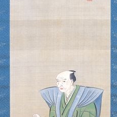
A noted surveyor named Ino Tadataka, who created the first detailed maps of Japan, lived near this bridge. His former residence stands just a short distance away and speaks to the scientific history of the region.
The community of curious travelers
AroundUs brings together thousands of curated places, local tips, and hidden gems, enriched daily by 60,000 contributors worldwide.