Katori, Merchant town in Chiba Prefecture, Japan
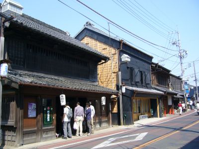
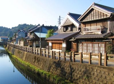
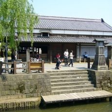
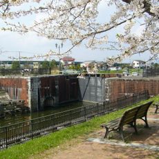
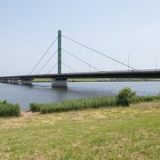
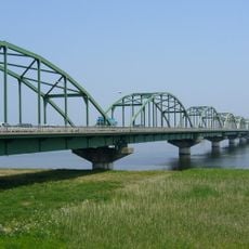
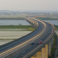
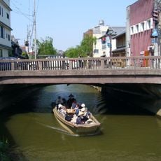
Katori is a city in Chiba Prefecture, Japan, that spreads along the bank of the Tone River and includes several historic town centers. The place combines old merchant quarters with modern residential areas, crossed by canals and green fields that lead toward the eastern inland plain.
The city formed through the merger of several towns in 1951 and officially became a city in 2006. Earlier, the area served as an important trading hub on the waterway between the inland regions and the coast.
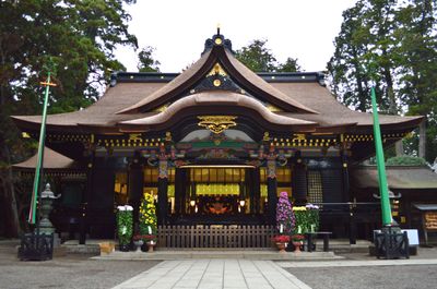
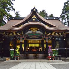
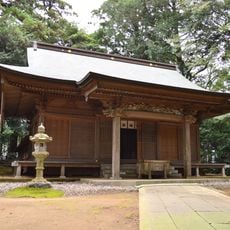
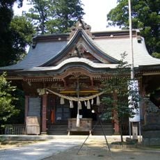
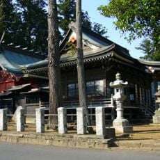
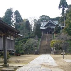
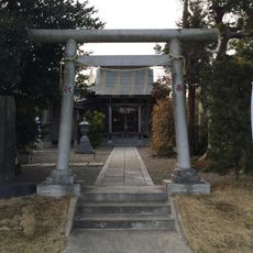
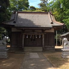
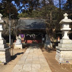
The name Katori comes from the shrine of the same name, one of the oldest Shinto sites in the region, located directly within the city. During festival days, carved wooden floats move through narrow lanes, pulled by people in historical dress, while visitors listen to the traditional chants that accompany the procession.
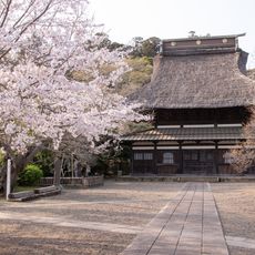
Visitors can walk through the old lanes on foot, stroll along the riverbanks, and view the wooden houses from different angles. The place is easiest to explore during daytime when shops are open and the waterfront is fully accessible.
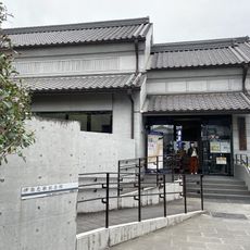
A famous 18th-century cartographer lived here and created the first precise map of the country by walking and measuring every corner on foot. His house by the river still stands today and shows the tools he used in his work.
The community of curious travelers
AroundUs brings together thousands of curated places, local tips, and hidden gems, enriched daily by 60,000 contributors worldwide.