
Kōyama Daki, Wasserfall in Japan
Location: Kanagawa Prefecture
Elevation above the sea: 110 m
GPS coordinates: 35.35639,139.16028
Latest update: June 14, 2025 18:06

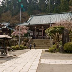
Saijō-ji
9.8 km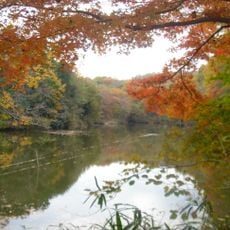
Lake Shinsei
4.6 km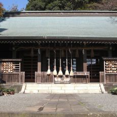
Kawawa Shrine
9.4 km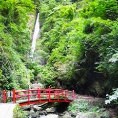
Shasui Falls
8.7 km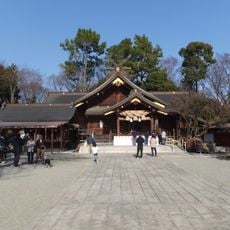
Izumo-taisha Sagami-bunshi
4.7 km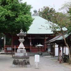
Shōfuku-ji
6.2 km
小田原市役所
10.2 km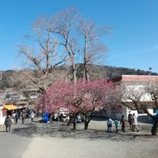
曾我梅林
7 km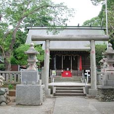
Sugawara Shrine
9.3 km
Samuta-jinja
2.7 km
妙円寺
9.5 km
Azuma Shrine
10.4 km
中里遺跡 (小田原市)
8.5 km
Sakuradote Kofun
4.2 km
玉宝寺
9.2 km
南足柄市運動公園
6 km
南足柄市体育センター
5.5 km
Sakawagawa Bridge
2.9 km
Tomei Minasegawa Bridge
8.1 km
Gyōjaga Take
10.1 km
Mount Karasuo
9.5 km
平塚富士見カントリークラブ
8.5 km
Hadano Historical Museum
4.2 km
山北つぶらの公園
10 km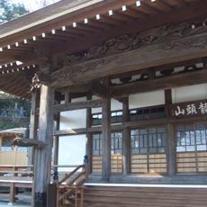
善福寺
5.9 km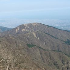
Mount Sannoto
9.4 km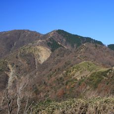
Mount Shindainichi
10.7 km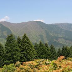
Mount Hinokidakka
9.3 kmReviews
Visited this place? Tap the stars to rate it and share your experience / photos with the community! Try now! You can cancel it anytime.
Discover hidden gems everywhere you go!
From secret cafés to breathtaking viewpoints, skip the crowded tourist spots and find places that match your style. Our app makes it easy with voice search, smart filtering, route optimization, and insider tips from travelers worldwide. Download now for the complete mobile experience.

A unique approach to discovering new places❞
— Le Figaro
All the places worth exploring❞
— France Info
A tailor-made excursion in just a few clicks❞
— 20 Minutes