Mount Sajikigatake, Mountain summit in Kita-ku, Kyoto, Japan
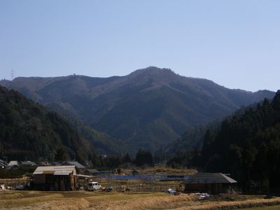
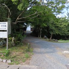
Mount Sajikigatake is a forested peak in the Kitayama mountain range, rising to about 896 meters north of Kyoto. Several marked trails wind through dense woodland and connect the base of the mountain to the summit.
The Kitayama mountains, including this peak, formed a natural northern boundary for Kyoto from the time the city was founded in the late 8th century. Communities on both sides of the range developed their own routes through the passes, shaping the local road network over centuries.
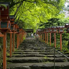
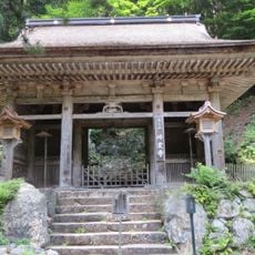
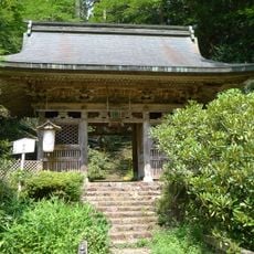
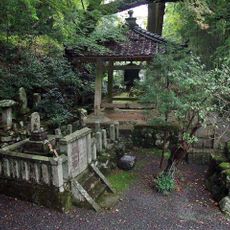
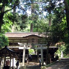
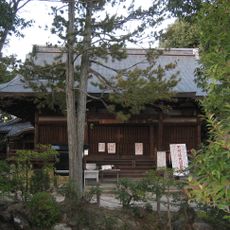
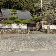
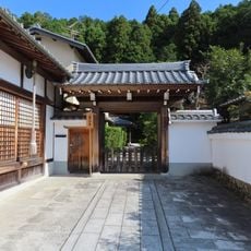
The trails on this mountain pass near small shrines and stone markers that are still used by local worshippers today. Visitors walking these paths will notice offerings left at roadside stones, showing how the landscape continues to hold a place in everyday spiritual life.
The main trailheads are accessible from Kumogahata-cho, a small village north of Kyoto that can be reached by bus. The round trip takes several hours, so starting in the morning and wearing sturdy footwear is a good idea, particularly in summer when the forest canopy keeps the trails humid.
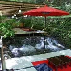
Springs on the slopes of this mountain feed the upper Kamo River, which has supplied Kyoto with fresh water for over a thousand years. Most hikers pass by these small streams without realizing their water will eventually flow through the heart of the city below.
The community of curious travelers
AroundUs brings together thousands of curated places, local tips, and hidden gems, enriched daily by 60,000 contributors worldwide.