
大川橋, bridge in Miyoshi, Japan
Location: Miyoshi
Inception: 1935
GPS coordinates: 33.97239,133.78258
Latest update: July 11, 2025 13:48

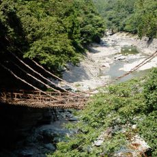
Kazura bridge at the Iya Valley
11.9 km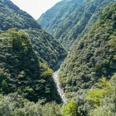
Iya Valley
11.9 km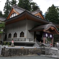
Unpen-ji
8.9 km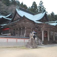
Hashikura-ji
10 km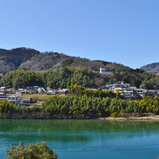
Hakuchi Castle
4.8 km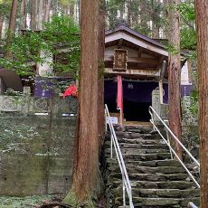
Kenmi-jinja
3.2 km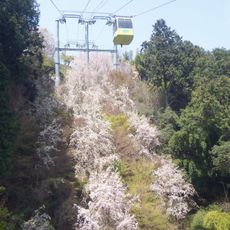
Hashikurasan Ropeway
9.9 km
Roadside station Oboke
10.3 km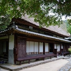
Heike Yashiki Museum of Folklore
10 km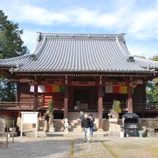
Hagiwara-ji
14 km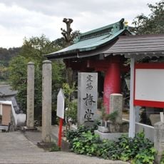
Jofuku-ji
13.8 km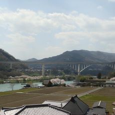
Ikeda Hesokko Bridge
5.8 km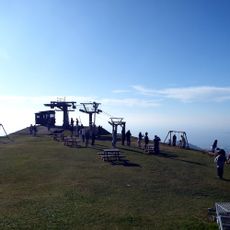
Unpenji Sanchō Park
9 km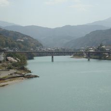
池田大橋
5.2 km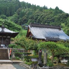
Chōfuku-ji
6.4 km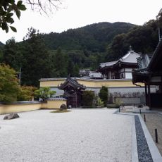
蓮華寺
6.2 km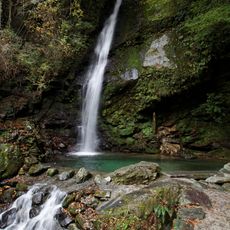
Biwa Falls
11.9 km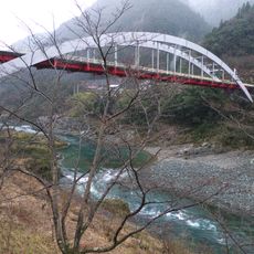
Oboke Bridge
10.9 km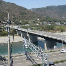
四国中央橋
7.7 km
Mitsugon-ji
7.8 km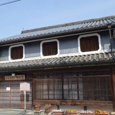
Awa-Ikeda Udatsu House and Tabacco Museum
6.8 km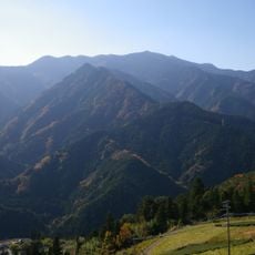
Mount Nokanoike
15.1 km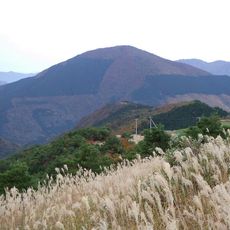
Mount Nakatsu
7.8 km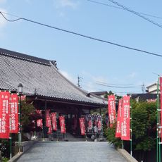
Fudō-in
8.6 km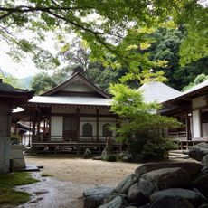
持性院
10.7 km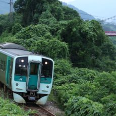
美濃田大橋
11.4 km
吉野川運動公園
5.8 km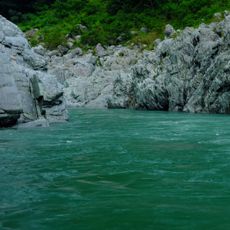
Ōboke Gorge
9.1 kmReviews
Visited this place? Tap the stars to rate it and share your experience / photos with the community! Try now! You can cancel it anytime.
Discover hidden gems everywhere you go!
From secret cafés to breathtaking viewpoints, skip the crowded tourist spots and find places that match your style. Our app makes it easy with voice search, smart filtering, route optimization, and insider tips from travelers worldwide. Download now for the complete mobile experience.

A unique approach to discovering new places❞
— Le Figaro
All the places worth exploring❞
— France Info
A tailor-made excursion in just a few clicks❞
— 20 Minutes