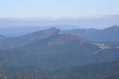
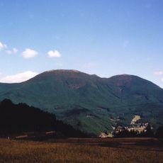
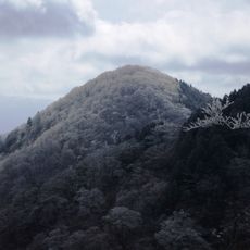
Mount Kuroso, Mountain summit in Tsu and Soni, Japan
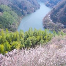
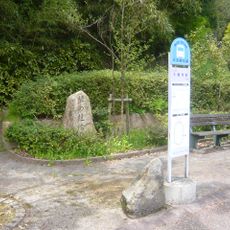
Mount Kuroso is a peak on the border between Mie and Nara Prefectures in central Japan, shared between the municipalities of Tsu and Soni. Several marked hiking routes lead to the summit from different starting points on each side of the mountain.
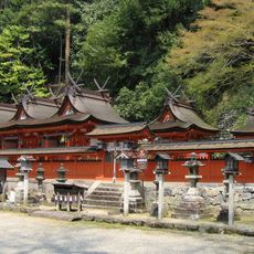
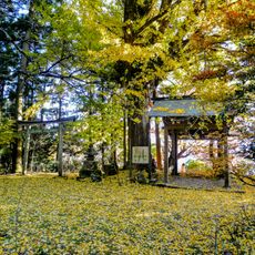
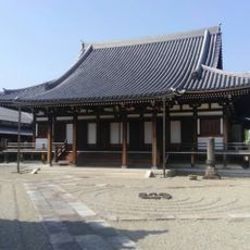
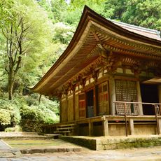
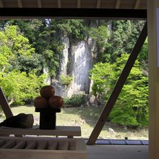
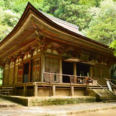
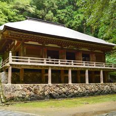
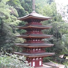
The name Kuroso comes from Kakusandha, a Buddha in Buddhist tradition, and reflects the deep religious influence that shaped place names across the ancient Nara region. This kind of naming was common when Buddhist practice was closely tied to the land and its geography.
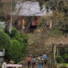
The peak appears in several mountain collections, including the 300 Famous Japanese Mountains and the 100 Famous Kansai Mountains. Hikers from both Mie and Nara prefectures use the summit as a meeting point between two regions.
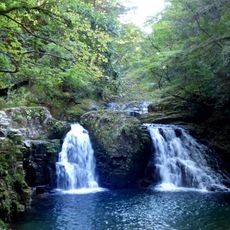
The trails to the summit are clearly marked, but some hiking experience is helpful since the routes vary in length depending on which side you start from. Allow extra time for the descent, and check conditions before setting out as the terrain can change with the season.
Mount Kuroso ranks as the second highest of the eight mountains in Uda County, which means it is often climbed as part of a local set of summits rather than as a standalone destination. This kind of grouped mountain listing is common in Japan and drives many hikers to complete the full collection.
The community of curious travelers
AroundUs brings together thousands of curated places, local tips, and hidden gems, enriched daily by 60,000 contributors worldwide.