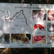
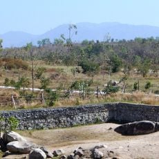
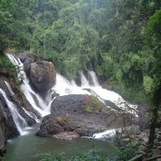
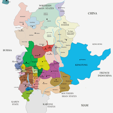
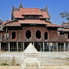
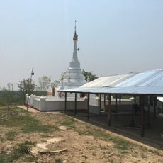
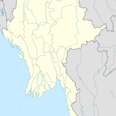
Taunggyi District, district in Shan State, Burma
Location: Shan State
Elevation above the sea: 1,404 m
GPS coordinates: 20.50000,96.93330
Latest update: March 9, 2025 00:40
Uppatasanti Pagoda
112.8 km
Presidential Palace, Naypyidaw
117.9 km
Padah-Lin Caves
93.8 km
Wunna Theikdi Stadium
121.5 km
Shwe Indein Pagoda
11.2 km
Hpaung Daw U Pagoda
5.5 km
Naypyidaw Zoological Gardens
100.1 km
Thatta Thattaha Maha Bawdi Pagoda
101.1 km
Naypyidaw Water Fountain Garden
119.1 km
Taunggyi Stadium
32.8 km
တောင်ကွဲစေတီတော်
97 km
Naypyidaw Safari Park
99.6 km
National Herbal Park
120.1 km
Tham Pla - Namtok Pha Suea National Park
157.9 km
Mahar Shwe Thein Daw Pagoda
152.3 km
Maha Thetkya Yanthi Buddha
108.6 km
Panglong University
84.9 km
Tamote Shinpin Shwegugyi Temple
156.5 km
Kayah State Cultural Museum
94.4 km
Nga Phe Kyaung Monastery
4.2 km
Myamyinzu Pagoda
133.6 km
Kyawkku
144.7 km
Shwe Yan Pyay
20.5 km
Kyewa Pagoda
128.7 km
Inn Paw Khon
7.2 km
Tagundaing Tank
134.6 km
Sinbyingyi Tank
134.1 km
Dat Taw Taung Cave
145.6 kmReviews
Visited this place? Tap the stars to rate it and share your experience / photos with the community! Try now! You can cancel it anytime.
Discover hidden gems everywhere you go!
From secret cafés to breathtaking viewpoints, skip the crowded tourist spots and find places that match your style. Our app makes it easy with voice search, smart filtering, route optimization, and insider tips from travelers worldwide. Download now for the complete mobile experience.
A unique approach to discovering new places❞
— Le Figaro
All the places worth exploring❞
— France Info
A tailor-made excursion in just a few clicks❞
— 20 Minutes