
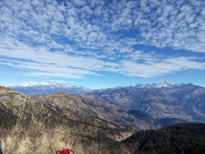
Gaurishankar Conservation Area, protected area in the Himalayas of Nepal
Location: Bagmati Province
Inception: January 11, 2010
GPS coordinates: 27.80000,86.36000
Latest update: March 3, 2025 00:08
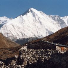
Cho Oyu
44.3 km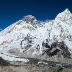
Sagarmatha National Park
34.3 km
Lunag Ri
33.7 km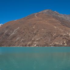
Gokyo Ri
36.5 km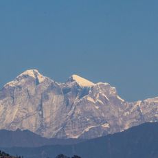
Gauri Sankar
18.8 km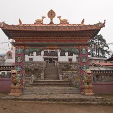
Tengboche Monastery
45.1 km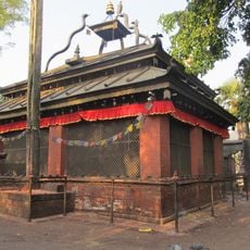
Dolakha Bhimsen Temple
31.1 km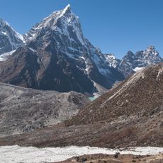
Cholatse
41.8 km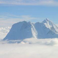
Melungtse
20.3 km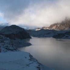
Ngozumpa glacier
39 km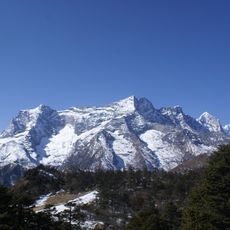
Kongde Ri
27.9 km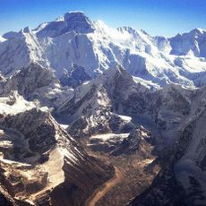
Nangpai Gosum
39.3 km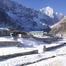
Tengkangpoche
23.2 km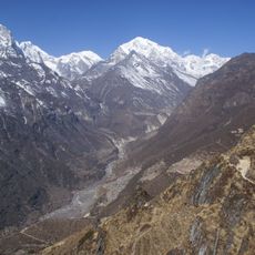
Tengi Ragi Tau
20.1 km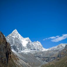
Kyajo Ri
32.9 km
Karyolung
25.9 km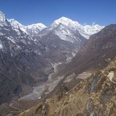
Parchamo
18.9 km
Jobo Rinjang
33.6 km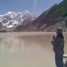
Likhu Chuli
17.8 km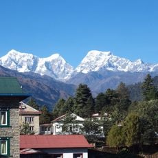
Khatang
23.7 km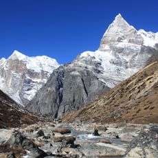
Kusum Kanguru
42.9 km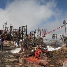
Kalinchowk Bhagwati Shrine
31.7 km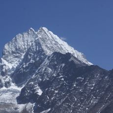
Thamserku
41.9 km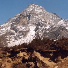
Mount Khumbila
34.6 km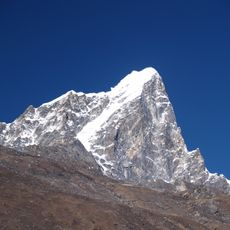
Taboche
42.7 km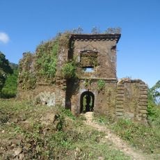
Sindhuli Gadhi
43.5 km
Chomo Pāmari̇̄
39.2 km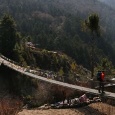
Bridge at Phunki Thanga
38.1 kmReviews
Visited this place? Tap the stars to rate it and share your experience / photos with the community! Try now! You can cancel it anytime.
Discover hidden gems everywhere you go!
From secret cafés to breathtaking viewpoints, skip the crowded tourist spots and find places that match your style. Our app makes it easy with voice search, smart filtering, route optimization, and insider tips from travelers worldwide. Download now for the complete mobile experience.

A unique approach to discovering new places❞
— Le Figaro
All the places worth exploring❞
— France Info
A tailor-made excursion in just a few clicks❞
— 20 Minutes