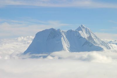
Melungtse, Mountain summit in Shigatse, China
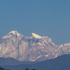
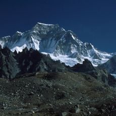
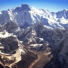
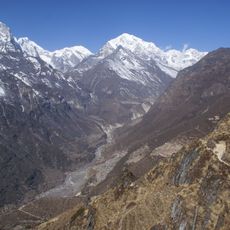
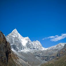
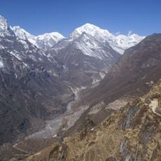
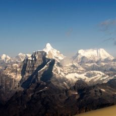
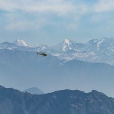
Melungtse is a mountain summit in the Rolwaling Himalaya, located in the Shigatse region of China, reaching about 7,181 meters (23,560 feet) in height. It has two distinct summits, an eastern and a western one, linked by a long ridge with steep rock faces on all sides.
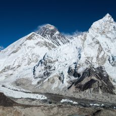
Melungtse was first climbed in 1992 by a Slovenian team that reached the main eastern summit. In the years that followed, expeditions from several countries explored different routes on the mountain.
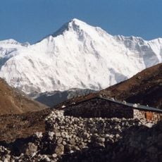
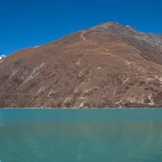
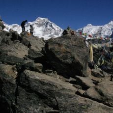
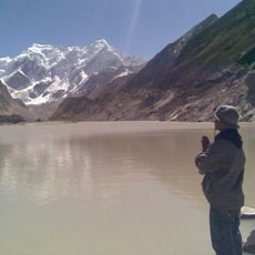
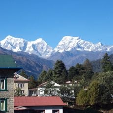
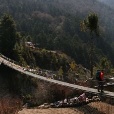
The mountain holds special meaning in Tibetan geography as a prominent peak in the Rolwaling Himalaya, with its name deeply connected to local traditions. Visitors can sense the spiritual importance of the place through prayer flags and stone cairns left by locals and pilgrims passing through the region.
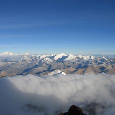
The mountain is only accessible to experienced high-altitude climbers, and working with a local guide or expedition operator is strongly recommended. The window of good conditions is short, so planning well in advance is important.
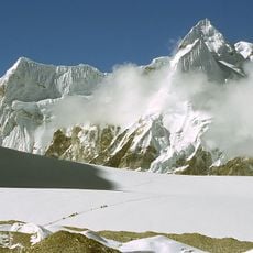
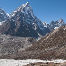
The western summit of Melungtse was climbed after the main peak and presents a different set of challenges compared to the eastern approach. Despite sharing the same ridge, the two summits offer very different terrain to climbers.
The community of curious travelers
AroundUs brings together thousands of curated places, local tips, and hidden gems, enriched daily by 60,000 contributors worldwide.