Enable Location

We need your location to show you interesting places around you

Discover nearby places

Find interesting locations and hidden gems around you

Precise directions

Get accurate directions and distances to places

Your location is never shared with other users. It's only used when you tap the location button.

Gauri Sankar

Log in to your account

Start exploring — it's free

Trusted by 61,509 travelers worldwide

Continue with Google
Continue with Apple
or

We will send you a code to connect

By continuing, you accept our Terms and Conditions and our Privacy Policy

Check your inbox

We've sent a pincode in your inbox. Please enter the code below.

Gauri Sankar

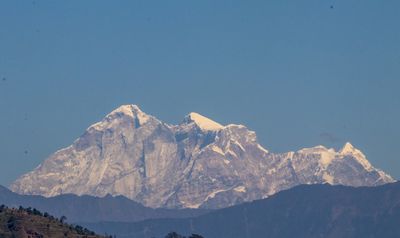
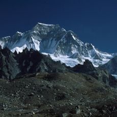
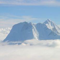
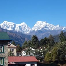
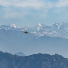
Gauri Sankar, Mountain peak in Rolwaling Himal, Nepal and Tibet Autonomous Region

Description

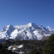
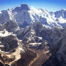
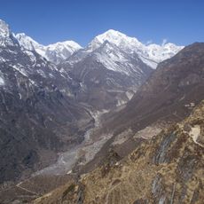
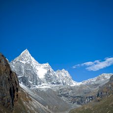
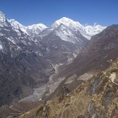
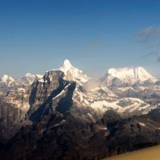
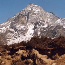
Gauri Sankar is a mountain massif in the Rolwaling Himal with two prominent peaks, both rising above 7,000 meters. The slopes drop steeply and are capped with pronounced corniced ridges that encircle the formation on all sides.

History

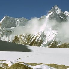
The mountain went unclimbed until 1979, when an American-Nepalese expedition successfully reached the summit via the technically demanding West Face. This achievement highlighted the extreme difficulties posed by the terrain and its complex conditions.

Culture

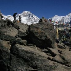
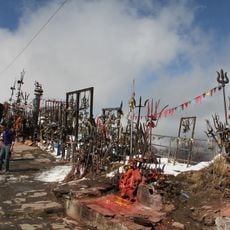
The mountain's name draws from Hindu traditions, with the northern peak representing Lord Shiva and the southern summit symbolizing the goddess Gauri. Local communities hold the mountain in spiritual regard, and these religious connections shape how people relate to the place.

Practical

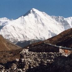
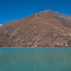
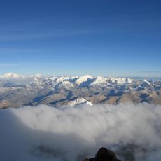
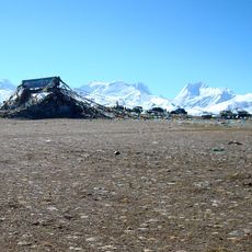
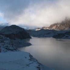
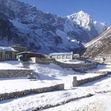
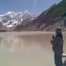
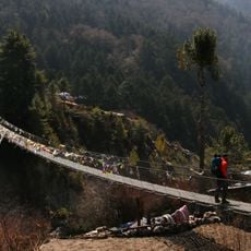
The area surrounding the peak is remote and requires careful planning and physical conditioning before attempting any approach. Access involves trekking through alpine terrain that can quickly shift to severe weather and challenging conditions.

Did you know?

The meridian of this peak determines Nepal's standard time and establishes the GMT+05:45 time zone for the entire country. This geographic role creates an unexpected link between a remote mountain and the timekeeping of an entire nation.

Location
Elevation above the sea
7,134 m
Part of
Rolwaling Himal
GPS coordinates
27.96735,86.33450
Latest update
December 7, 2025 10:08

AroundUs brings together thousands of curated places, local tips, and hidden gems, enriched daily by 60,000 contributors worldwide. Discover all places nearby (Dolakha District).

« Gauri Sankar - Mountain peak in Rolwaling Himal, Nepal and Tibet Autonomous Region » is provided by Around Us (aroundus.com). Images and texts are derived from Wikimedia project under a Creative Commons license. You are allowed to copy, distribute, and modify copies of this page, under the conditions set by the license, as long as this note is clearly visible.

Discover hidden gems everywhere you go!

From secret cafés to breathtaking viewpoints, skip the crowded tourist spots and find places that match your style. Our app makes it easy with voice search, smart filtering, route optimization, and insider tips from travelers worldwide. Download now for the complete mobile experience.

Around Us App Screenshot

A unique approach to discovering new places

Le Figaro

All the places worth exploring

France Info

A tailor-made excursion in just a few clicks

20 Minutes

Around Us
Travel Guide & Maps
Download

Send to your phone

QR Code
1

Open the camera app on your mobile.

2

Point at the QR code with your camera. A notification will appear.

3

Tap the notification to open the link.