Enable Location

We need your location to show you interesting places around you

Discover nearby places

Find interesting locations and hidden gems around you

Precise directions

Get accurate directions and distances to places

Your location is never shared with other users. It's only used when you tap the location button.

Dolakha District

Log in to your account

Start exploring — it's free

Trusted by 62,564 travelers worldwide

Continue with Google
Continue with Apple
or

We will send you a code to connect

By continuing, you accept our Terms and Conditions and our Privacy Policy

Check your inbox

We've sent a pincode in your inbox. Please enter the code below.

Dolakha District

Dolakha District, Administrative district in Bagmati Province, Nepal

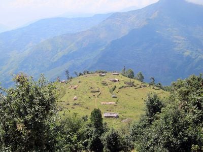
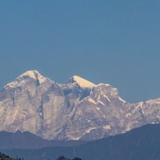
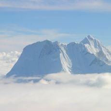
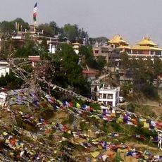
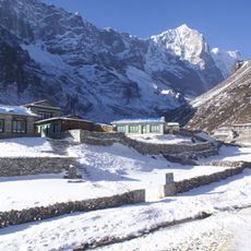
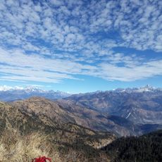
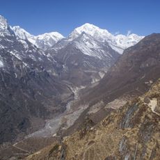
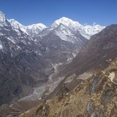
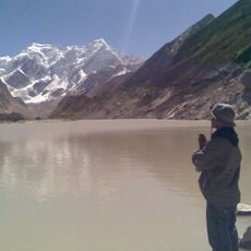
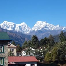
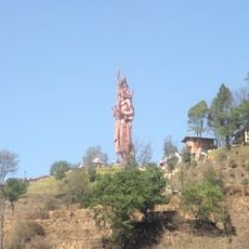
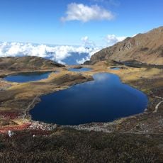
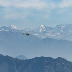
Dolakha is an administrative district in Bagmati Province, Nepal, with diverse terrain stretching from subtropical valleys to alpine zones. The landscape features green hills and steep mountains that change dramatically as you move from lower to higher elevations.

The area was an independent state until 1811, when it became part of Nepal. This merger led to the establishment of district-level administrative offices and a new governance structure.

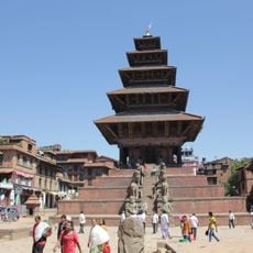
Chhetri, Tamang, Newar, and Thami communities live here and maintain their own languages and customs. You can see how these groups celebrate their festivals and practice traditional crafts in the local villages.

The district headquarters at Charikot connects to Kathmandu by road and takes around 4 to 5 hours by bus. It is best to travel early in the day, as the mountain roads can be affected by weather and road conditions.

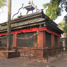
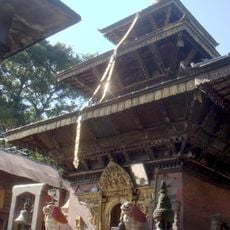
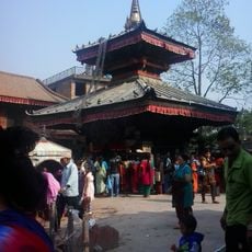
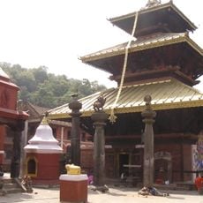
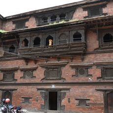
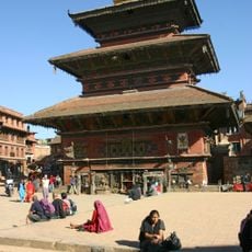
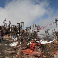
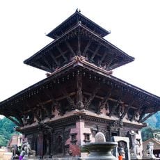
The Bhimeshwar Temple houses a stone sculpture that appears to display different deities at various times of day. Visitors notice how light falls through the temple's architecture and shifts the carved features of the statue.

The community of curious travelers

AroundUs brings together thousands of curated places, local tips, and hidden gems, enriched daily by 60,000 contributors worldwide.

Start exploring
Location
GPS coordinates
27.66667,86.03333
Latest update
December 20, 2025 12:26
« Dolakha District - Administrative district in Bagmati Province, Nepal » is provided by Around Us (aroundus.com). Images and texts are derived from Wikimedia project under a Creative Commons license. You are allowed to copy, distribute, and modify copies of this page, under the conditions set by the license, as long as this note is clearly visible.

Discover hidden gems everywhere you go!

From secret cafés to breathtaking viewpoints, skip the crowded tourist spots and find places that match your style. Our app makes it easy with voice search, smart filtering, route optimization, and insider tips from travelers worldwide. Download now for the complete mobile experience.

Around Us App Screenshot

A unique approach to discovering new places

Le Figaro

All the places worth exploring

France Info

A tailor-made excursion in just a few clicks

20 Minutes

Around Us
Travel Guide & Maps
Download

Send to your phone

QR Code
1

Open the camera app on your mobile.

2

Point at the QR code with your camera. A notification will appear.

3

Tap the notification to open the link.