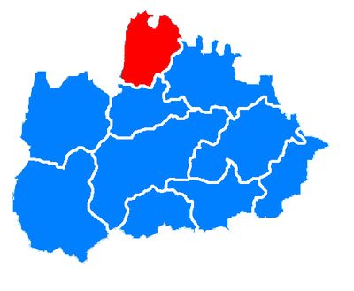
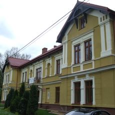
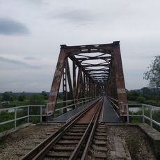
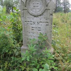
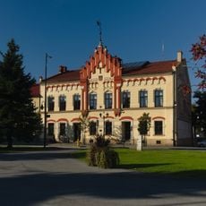
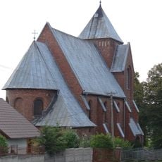
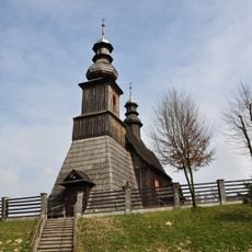
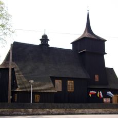
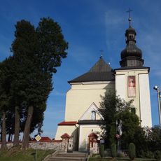
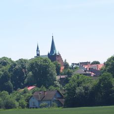
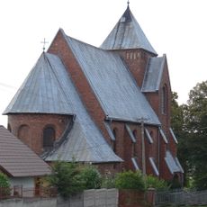
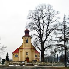
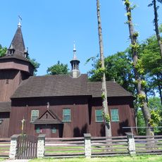
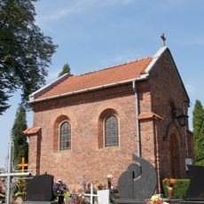
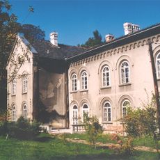
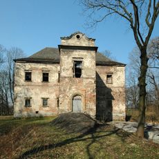
Gmina Spytkowice, rural gmina in Wadowice County, Lesser Poland Voivodeship, Poland
Location: Wadowice County
Elevation above the sea: 29 m
Shares border with: Gmina Alwernia, Gmina Brzeźnica, Gmina Czernichów, Gmina Tomice, Gmina Zator
Website: http://spytkowice.net.pl
GPS coordinates: 49.99333,19.50278
Latest update: March 11, 2025 00:44
Energylandia
6.8 km
Hyperion
6.6 km
Zadra
7.3 km
Abyssus
7.3 km
Mayan
7 km
Formuła
7 km
Potocki Castle in Zator
4.5 km
Palace in Poręba Żegoty
8.2 km
Church of Saints Adalbert and George in Zator
4.5 km
Manor house in Czernichów
6.6 km
Most kolejowy w Okleśnej
3.7 km
Jewish cemetery in Zator
4.8 km
Saint James the Less church in Palczowice
3.4 km
Town hall in Zator
4.7 km
Kamień, Lesser Poland Voivodeship
6.4 km
Saint Andrew church in Graboszyce
6.8 km
Church of the Assumption in Woźniki
6.3 km
Saint Catherine of Alexandria church in Spytkowice
570 m
Układ urbanistyczny, XIV/XV
4.7 km
Cemetery in Poręba Żegoty
8.2 km
Kościół parafialny Opieki Matki Bożej w Kamieniu
6.4 km
Zespół kościoła pw. św. Marcina i św. Małgorzaty w Porębie Żegoty
8.3 km
Kościół parafialny św. Jakuba Młodszego w Palczowicach
3.4 km
Kościół parafialny Nawiedzenia NMP w Tłuczaniu
7.3 km
Oficyna, tzw. portierówka, ob. dom mieszkalny
4.6 km
Cemetery chapel in Poręba Żegoty
8.2 km
Dwór w Ryczowie
3.4 km
Manor house in Graboszyce
6.3 kmReviews
Visited this place? Tap the stars to rate it and share your experience / photos with the community! Try now! You can cancel it anytime.
Discover hidden gems everywhere you go!
From secret cafés to breathtaking viewpoints, skip the crowded tourist spots and find places that match your style. Our app makes it easy with voice search, smart filtering, route optimization, and insider tips from travelers worldwide. Download now for the complete mobile experience.
A unique approach to discovering new places❞
— Le Figaro
All the places worth exploring❞
— France Info
A tailor-made excursion in just a few clicks❞
— 20 Minutes