
Rural settlement Arshan, human settlement in Tunkinsky District, Republic of Buryatia, Russia
Location: Tunkinsky District
Capital city: Arshan
GPS coordinates: 51.90861,102.42889
Latest update: March 31, 2025 16:39
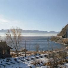
Circum-Baikal Railway
91.2 km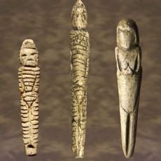
Venus figurines of Mal'ta
126.7 km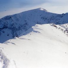
Chersky Peak
93.4 km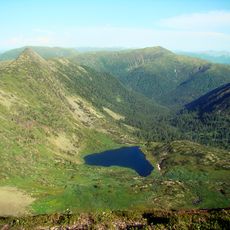
Serdtse Lake
93.8 km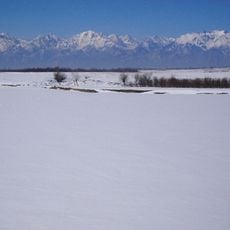
Tunkinsky National Park
32.3 km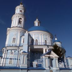
Church of the Theotokos of Kazan
123.2 km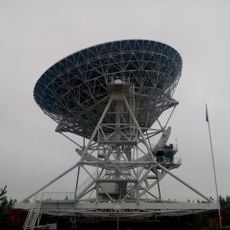
Badary RTF-32
20.4 km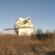
Sayan Solar Observatory
108.8 km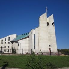
Immaculate Heart of Mary Cathedral
131.1 km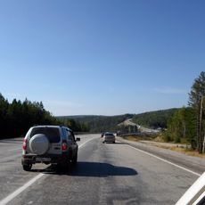
Olkhinskoye plateau
117.2 km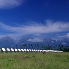
Radioastrophysical Observatory Badary
22 km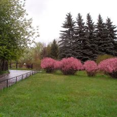
Botanic Garden of the Irkutsk State University
130.5 km
Jermak
117 km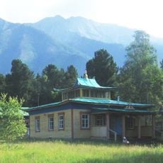
Khoymorsky datsan
0 m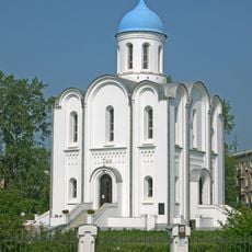
Church of the Nativity of Christ
131.5 km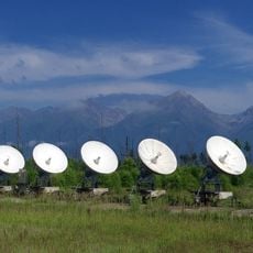
Siberian Solar Radio Telescope
22 km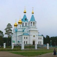
Holy Trinity church in Angarsk
120.1 km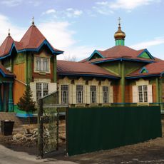
Church of Saint Nicholas in Slyudyanka
93.5 km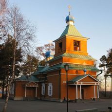
Михаило-Архангельская церковь
131 km
Якимовка
91.6 km
Temple of Saints Peter and Paul
117.5 km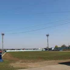
Stadium Stroitel, Shelekhov
119 km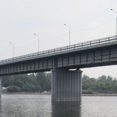
Irkutny Bridge (Bypass of Irkutsk)
112.7 km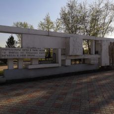
Памятник политкаторжанам в Ангарске
123.2 km
Памятник воинам-землякам, погибшим в годы Великой Отечественной войны (Аршан)
757 m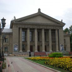
Dvorets Kultury Neftekhimik
122.1 km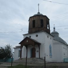
Покровская церковь (Тунка)
19.7 km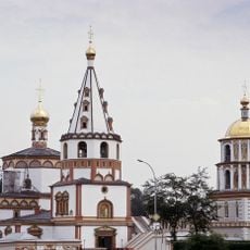
Irkutsk historical center
42.2 kmReviews
Visited this place? Tap the stars to rate it and share your experience / photos with the community! Try now! You can cancel it anytime.
Discover hidden gems everywhere you go!
From secret cafés to breathtaking viewpoints, skip the crowded tourist spots and find places that match your style. Our app makes it easy with voice search, smart filtering, route optimization, and insider tips from travelers worldwide. Download now for the complete mobile experience.

A unique approach to discovering new places❞
— Le Figaro
All the places worth exploring❞
— France Info
A tailor-made excursion in just a few clicks❞
— 20 Minutes