Serdtse Lake, Protected lake in Khamar Daban, Russia.
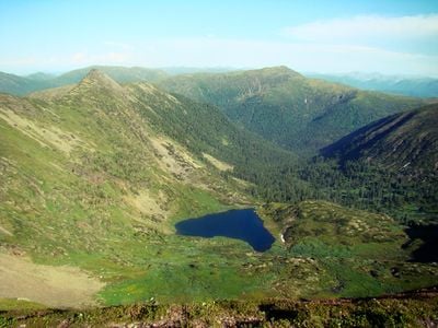
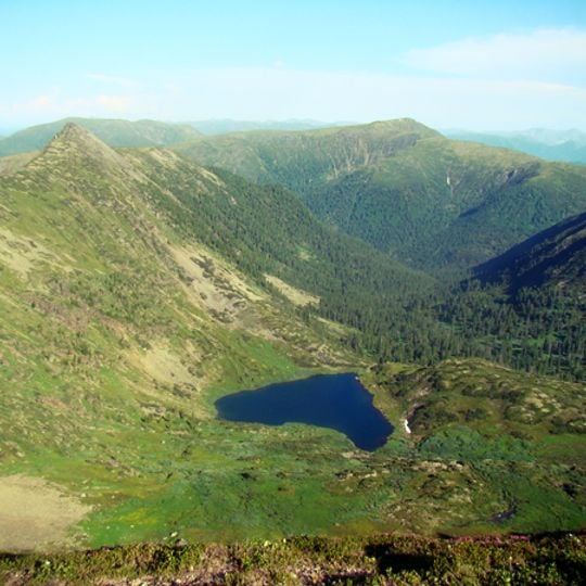
Serdtse Lake is a small high-mountain lake on the Khamar-Daban ridge, lying at about 1,718 metres at the southern foot of Chersky Peak. Its shoreline runs for 700 metres, and the Mangutayka river flows out of it. The photograph shows an irregular blue sheet of water in a basin ringed by slopes covered in green and brown vegetation, tapering to a pointed inlet on the right.
The lake formed through geological processes spanning millions of years in the Khamar Daban range. Glacial activity and natural erosion shaped its current form and basin.
The lake's Russian name, Serdtse, means "heart". It lies beside the 25 km trail from Slyudyanka to Cherskiy Peak, a route used by hikers who pass the shore on their way to the summit.
Access involves hiking mountain paths that demand sure footing and proper gear for high altitude travel. Visitors should prepare for changing weather and respect the protected area regulations.
Serdtse Lake drains through the Mangutayka, a left tributary of the Left Bezymyannaya that reaches Baikal. Its shoreline measures about 700 m, and the 25 km trail to Chersky Peak, starting in Slyudyanka, passes close by. The lake lies at roughly 1718 m on the southern foot of the peak.
The community of curious travelers
AroundUs brings together thousands of curated places, local tips, and hidden gems, enriched daily by 93,304 contributors worldwide.