
Алгазеїнське сільське поселення, human settlement in Tuguro-Chumikansky District, Khabarovsk Krai, Russia
Location: Tuguro-Chumikansky District
Capital city: Algazeja
GPS coordinates: 54.70000,135.20000
Latest update: March 24, 2025 00:44

Zeya Dam
523.7 km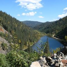
Lake Amut
440.6 km
Bastak Nature Reserve
656.5 km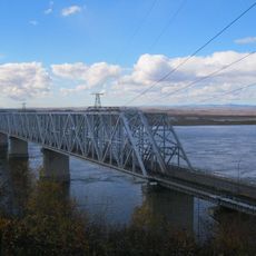
Komsomolsk-on-Amur road-rail bridge
486.3 km
Zeya Nature Reserve
514.4 km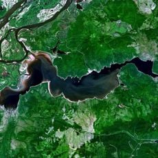
Lake Bolshoe Kizi
489.7 km
Bureya Nature Reserve
311 km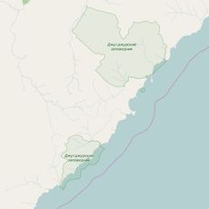
Dzhugdzursky Nature Reserve
328.6 km
Bolon Nature Reserve
573.3 km
Shantar Islands National Park
151.1 km
Bureinsky Ridge
377.8 km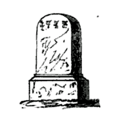
Yongning Temple Stele
357.9 km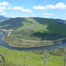
Anyuysky National Park
592.8 km
Bolon
545.4 km
Komsomolsk Nature Reserve
465 km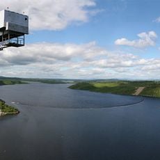
Bureya Reservoir
594 km
Nora Nature Reserve
406.1 km
Three Brothers Islands
628.8 km
Lake Bolshoye Toko
311.8 km
Lake Evoron
368.1 km
Силинский лес
475.6 km
Tokinsko-Stanovoy National Park
339.4 km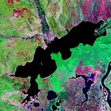
Lake Udyl
421.4 km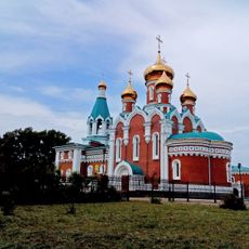
Orthodox cathedral of Saint Elijah the Prophet in Komsomolsk-on-Amur
475.2 km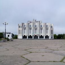
Drama Theatre of Komsomolsk-on-Amur
479.5 km
Gora Burgalenzha
192.6 km
Gora Yuzhnyy Krest
207.8 km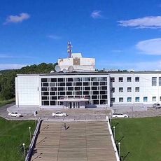
Dvorets Kultury
511.1 kmReviews
Visited this place? Tap the stars to rate it and share your experience / photos with the community! Try now! You can cancel it anytime.
Discover hidden gems everywhere you go!
From secret cafés to breathtaking viewpoints, skip the crowded tourist spots and find places that match your style. Our app makes it easy with voice search, smart filtering, route optimization, and insider tips from travelers worldwide. Download now for the complete mobile experience.

A unique approach to discovering new places❞
— Le Figaro
All the places worth exploring❞
— France Info
A tailor-made excursion in just a few clicks❞
— 20 Minutes