
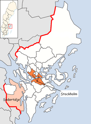
Östertälje, district in Södertälje Municipality, Sweden
Location: Södertälje Municipality
Inception: January 1, 2016
Part of: Södermanland
GPS coordinates: 59.16333,17.67694
Latest update: March 10, 2025 12:57
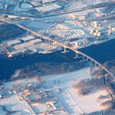
Igelsta Bridge
735 m
E4-bron, Södertälje
3.1 km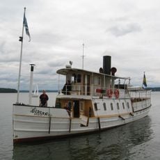
Ejdern
4.1 km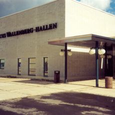
Marcus Wallenberg-hallen
3 km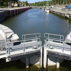
Södertälje sluss
4.2 km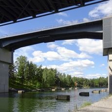
Saltsjöbron, Södertälje
3.1 km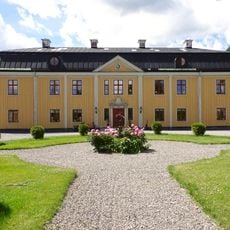
Tvetabergs säteri
4.4 km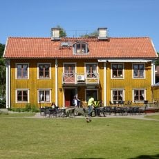
Wendela Hebbes hus
4.4 km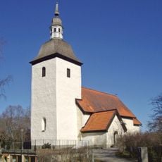
Tveta Church
4.3 km
Scania Museum
3.1 km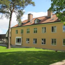
Hagabergs folkhögskola
3.4 km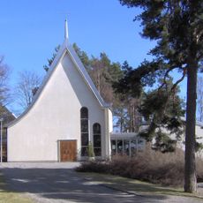
Alla Helgons kyrka, Södertälje
2.5 km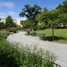
Stadsparken, Södertälje
4.2 km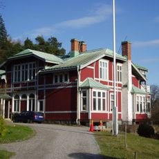
Saltskog gård
3.2 km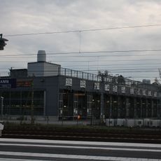
Södertäljedepån
2.7 km
Södertälje Baptistkyrka
4.3 km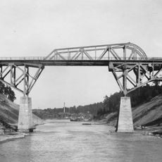
Andra Järnvägsbron, Södertälje kanal
3 km
Hovsjö Church
4.3 km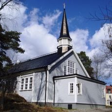
Hagabergs kapell
3.4 km
Öbacken-Bränninge
2.9 km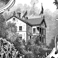
Villa Jakobsberg
4.3 km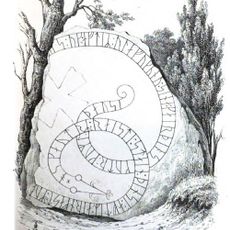
Södermanlands runinskrifter 296
3.8 km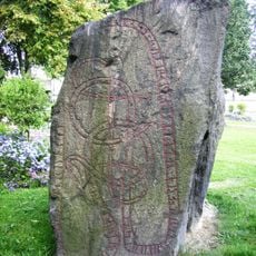
Södermanlands runinskrifter 308
4.4 km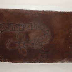
Södermanlands runinskrifter 343
4.3 km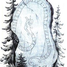
Södermanlands runinskrifter 294
3.2 km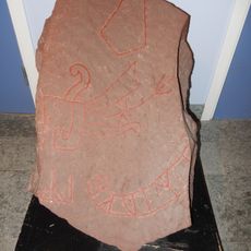
Södermanlands runinskrifter Fv1986;220
3.2 km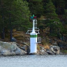
Halls Holme
542 m
Fläsklösa
4 kmReviews
Visited this place? Tap the stars to rate it and share your experience / photos with the community! Try now! You can cancel it anytime.
Discover hidden gems everywhere you go!
From secret cafés to breathtaking viewpoints, skip the crowded tourist spots and find places that match your style. Our app makes it easy with voice search, smart filtering, route optimization, and insider tips from travelers worldwide. Download now for the complete mobile experience.

A unique approach to discovering new places❞
— Le Figaro
All the places worth exploring❞
— France Info
A tailor-made excursion in just a few clicks❞
— 20 Minutes