Enable Location

We need your location to show you interesting places around you

Discover nearby places

Find interesting locations and hidden gems around you

Precise directions

Get accurate directions and distances to places

Your location is never shared with other users. It's only used when you tap the location button.

Plačlivé

Log in to your account

Start exploring — it's free

Trusted by 60,648 travelers worldwide

Continue with Google
Continue with Apple
or

We will send you a code to connect

By continuing, you accept our Terms and Conditions and our Privacy Policy

Check your inbox

We've sent a pincode in your inbox. Please enter the code below.

Plačlivé

Plačlivé, Mountain summit in Liptovský Mikuláš District, Slovakia

Description

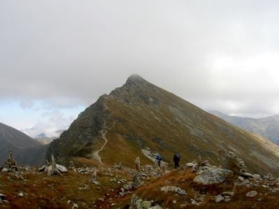
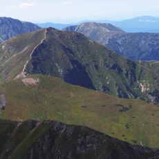
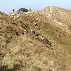
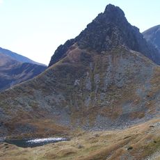
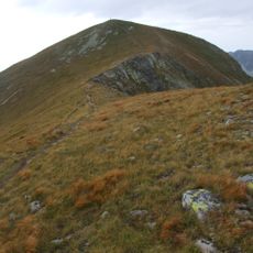
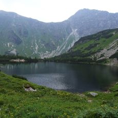
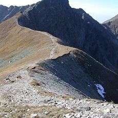
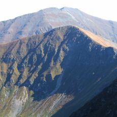
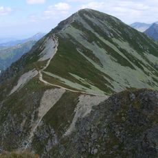
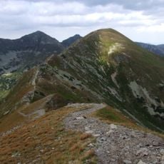
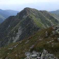
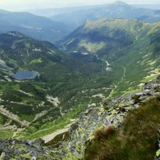
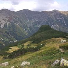
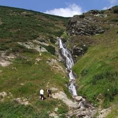
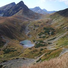
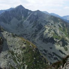
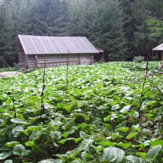
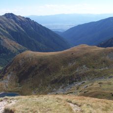
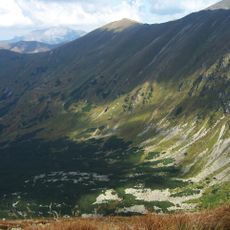
Plačlivé is a summit in the Western Tatras rising to 2125 meters, distinguished by steep cliffs on its northern face that drop into the Dolina Smutna basin. The mountain features sharp ridges and narrow passages along exposed rock faces throughout its upper reaches.

History

The summit was first documented to have been climbed around 1804 by Pál Kitaibel. Later, Ludwik Zejszner and Göran Wahlenberg measured its height using barometric techniques.

Culture

The summit carries two names reflecting the region's heritage: Plačlivé in Slovak and Rohacz Płaczliwy in Polish. This linguistic duality shows how the mountain belongs to multiple communities that have shared these peaks for centuries.

Practical

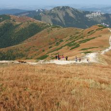
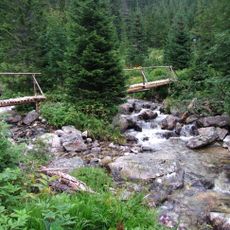
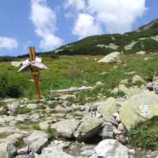
The route requires climbing skills and includes steep sections with chains, loose rocks, and narrow paths along exposed ridges. Visitors should expect challenging terrain and need solid footing to proceed safely.

Did you know?

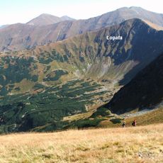
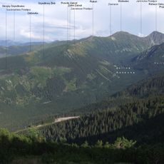
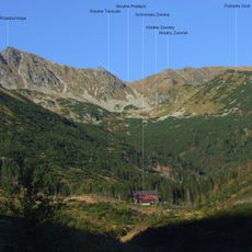
The peak sits positioned between Rohacz Ostrý and Trzy Kopy, offering views of both mountain ranges: the Western Tatras and the High Tatras beyond, including distant summits like Kominiarski Wierch and Giewont. This location makes it a special vantage point for seeing the larger landscape.

Elevation above the sea
2,125 m
Part of
Western Tatras
GPS coordinates
49.19712,19.74812
Latest update
December 12, 2025 12:00

AroundUs brings together thousands of curated places, local tips, and hidden gems, enriched daily by 60,000 contributors worldwide. Discover all places nearby (Liptovský Mikuláš District).

« Plačlivé - Mountain summit in Liptovský Mikuláš District, Slovakia » is provided by Around Us (aroundus.com). Images and texts are derived from Wikimedia project under a Creative Commons license. You are allowed to copy, distribute, and modify copies of this page, under the conditions set by the license, as long as this note is clearly visible.

Discover hidden gems everywhere you go!

From secret cafés to breathtaking viewpoints, skip the crowded tourist spots and find places that match your style. Our app makes it easy with voice search, smart filtering, route optimization, and insider tips from travelers worldwide. Download now for the complete mobile experience.

Around Us App Screenshot

A unique approach to discovering new places

Le Figaro

All the places worth exploring

France Info

A tailor-made excursion in just a few clicks

20 Minutes

Around Us
Travel Guide & Maps
Download

Send to your phone

QR Code
1

Open the camera app on your mobile.

2

Point at the QR code with your camera. A notification will appear.

3

Tap the notification to open the link.