
Smutné sedlo, saddle in Western Tatras, Slovakia
Location: Liptovský Mikuláš District
Location: Tvrdošín District
Elevation above the sea: 1,965 m
Operator: TANAP
GPS coordinates: 49.19753,19.73427
Latest update: May 31, 2025 22:13
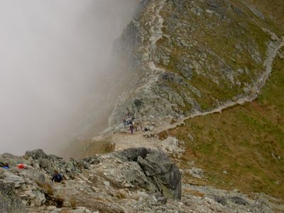
Western Tatras
1.2 km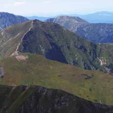
Wołowiec
2.4 km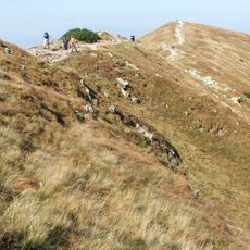
Rakoń
2.7 km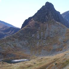
Ostrý Roháč
1.7 km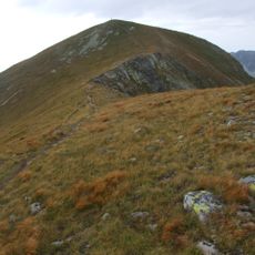
Baranec
2.7 km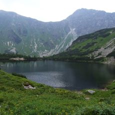
Roháčske plesá
1.5 km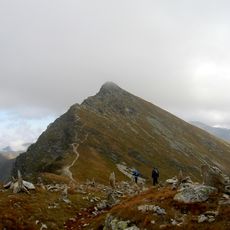
Plačlivé
1 km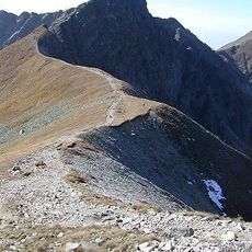
Banówka
1.7 km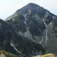
Pachoł
2.3 km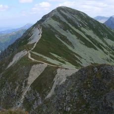
Hrubá kopa
870 m
Roháčsky vodopád
2 km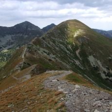
Smrek
1.9 km
Spálená
2.3 km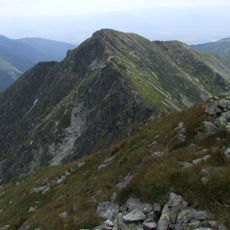
Príslop
1.8 km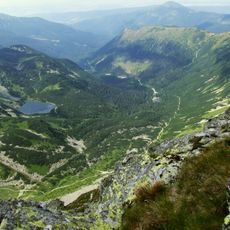
Roháčske plesá
1.5 km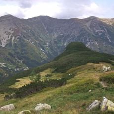
Czarna Kopa (Tatry Zachodnie)
2.5 km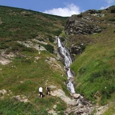
Šarafiový vodopád
2.1 km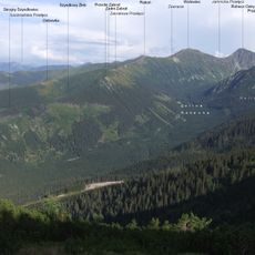
Przedni Zabrat
2.9 km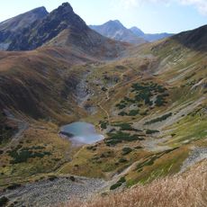
Kocioł Jamnickich Stawów
2.5 km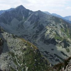
Zielony Wierch Rohacki
495 m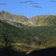
Smutny Zwornik
101 m
Zadni Zabrat
2.9 km
Przednie Zielone
1.5 km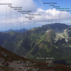
Pośredni Przysłop
2.3 km
Jałowiecka Kopa
2.9 km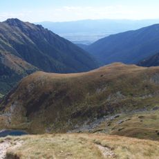
Stawiański Wierch
2.3 km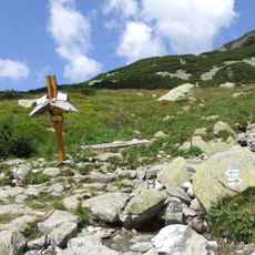
Rozdroże pod Bulą
883 m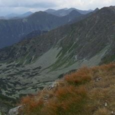
Przednia Spalona
2.3 kmReviews
Visited this place? Tap the stars to rate it and share your experience / photos with the community! Try now! You can cancel it anytime.
Discover hidden gems everywhere you go!
From secret cafés to breathtaking viewpoints, skip the crowded tourist spots and find places that match your style. Our app makes it easy with voice search, smart filtering, route optimization, and insider tips from travelers worldwide. Download now for the complete mobile experience.

A unique approach to discovering new places❞
— Le Figaro
All the places worth exploring❞
— France Info
A tailor-made excursion in just a few clicks❞
— 20 Minutes