
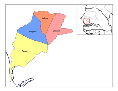
Niakhar Arrondissement, arrondissement of Senegal
Location: Fatick Department
Capital city: Niakhar
GPS coordinates: 14.48000,-16.40000
Latest update: March 11, 2025 23:27
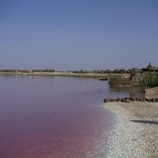
Lake Retba
98.3 km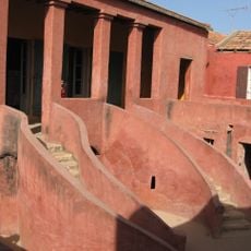
House of Slaves
109.5 km
Diamniadio Olympic Stadium
90.8 km
Great Mosque of Touba
71.8 km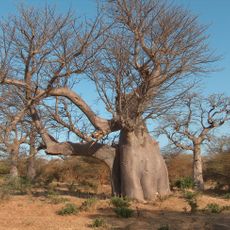
Bandia Nature Reserve
61.2 km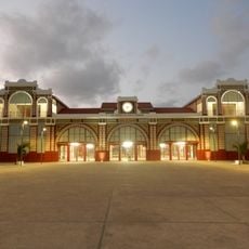
Dakar station
113.4 km
Keur Moussa abbey
84.8 km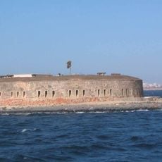
Historical Museum of Senegal
109.8 km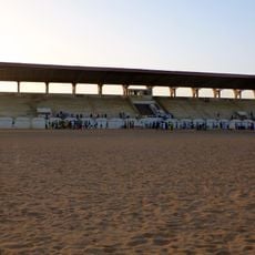
Stade Lat-Dior
66.9 km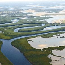
Saloum Delta
72.6 km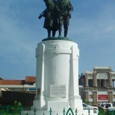
Monument Demba et Dupont
113.4 km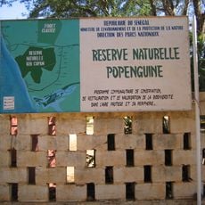
Réserve naturelle de Popenguine
74.8 km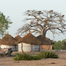
L’Aire Marine Protégée du Bamboung
74.6 km
Primature
113.3 km
Musée régional de Thiès
67.4 km
Church of Saint Charles Borromee (Goree)
109.5 km
Samba Dia Biosphere Reserve
55.3 km
Musée de la Mer
109.7 km
Fort Bullen
111.6 km
Galleria nazionale di Dakar
112.9 km
Marché Kermel
112.9 km
Musée Régional de Thiès
67.3 km
Place de indépendance
113.2 km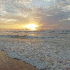
Malika Beach
107.5 km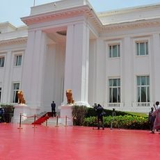
Palais du Président de la Republique du Senegal
113.1 km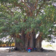
Baobab sacré de Fadial
53.1 km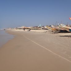
Mboro Plage
95.7 km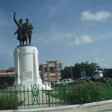
Place du Tirailleur Sénégalais
113.4 kmReviews
Visited this place? Tap the stars to rate it and share your experience / photos with the community! Try now! You can cancel it anytime.
Discover hidden gems everywhere you go!
From secret cafés to breathtaking viewpoints, skip the crowded tourist spots and find places that match your style. Our app makes it easy with voice search, smart filtering, route optimization, and insider tips from travelers worldwide. Download now for the complete mobile experience.

A unique approach to discovering new places❞
— Le Figaro
All the places worth exploring❞
— France Info
A tailor-made excursion in just a few clicks❞
— 20 Minutes