
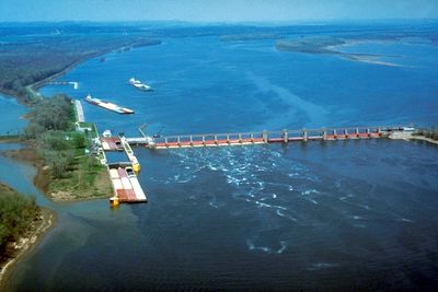
Lock and Dam No. 25, Navigation lock and dam on Mississippi River between Illinois and Missouri, United States.
Lock and Dam No. 25 operates with a 600-foot chamber that manages water levels for vessels traveling along the Upper Mississippi River system.
The United States Army Corps of Engineers constructed this navigation structure as part of a larger system to control water levels on the Mississippi River.
The facility demonstrates the engineering achievements of American infrastructure development and holds a place on the National Register of Historic Places.
The lock chamber processes vessels daily, requiring larger tows to separate their barges for passage, with transit times extending up to three hours.
A new 1,200-foot lock chamber expansion, funded at $732 million, will reduce transit times to under one hour when completed.
Location: Illinois
Location: Missouri
Architects: United States Army Corps of Engineers
Elevation above the sea: 132 m
GPS coordinates: 39.00470,-90.68640
Latest update: March 4, 2025 08:13

Mid Rivers Mall
24 km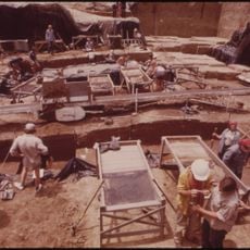
Koster Site
25.6 km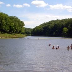
Cuivre River State Park
21.6 km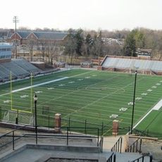
Harlen C. Hunter Stadium
29.1 km
Fort Zumwalt Park
23.3 km
Two Rivers National Wildlife Refuge
7.9 km
St. Mary's Institute of O'Fallon
21.3 km
Golden Eagle-Toppmeyer Site
17.5 km
Hamilton Primary School
25.5 km
Duncan Farm
15.5 km
Old Rock House
20.7 km
Wentzville Tobacco Company Factory
25.9 km
Lindenwood Hall
29.1 km
Elsah Historic District
28.8 km
Paris Mason Building
20.8 km
Charles Brainerd House
22.6 km
Smith-Duncan House and Eastman Barn
15.6 km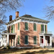
Samuel Stewart Watson House
28.2 km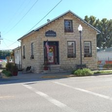
Slaten-LaMarsh House
22.2 km
Schudel No. 2 Site
17.7 km
Brussels Historic District
10.6 km
Grafton Historic District
22.4 km
Grafton Bank
22.4 km
John and Amelia McClintock House
22.5 km
Lindenwood Neighborhood Historic District
29.2 km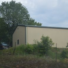
Michael Klunk Farmstead
28.3 km
Cuivre River State Park Administrative Area Historic District
20.8 km
J. Scheidegger Center for the Arts
29.1 kmReviews
Visited this place? Tap the stars to rate it and share your experience / photos with the community! Try now! You can cancel it anytime.
Discover hidden gems everywhere you go!
From secret cafés to breathtaking viewpoints, skip the crowded tourist spots and find places that match your style. Our app makes it easy with voice search, smart filtering, route optimization, and insider tips from travelers worldwide. Download now for the complete mobile experience.

A unique approach to discovering new places❞
— Le Figaro
All the places worth exploring❞
— France Info
A tailor-made excursion in just a few clicks❞
— 20 Minutes