
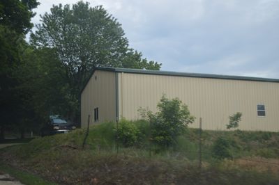
Michael Klunk Farmstead, building in Calhoun County, Illinois, United States
Location: Calhoun County
GPS coordinates: 39.25640,-90.63720
Latest update: September 23, 2025 15:10
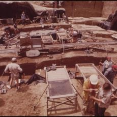
Koster Site
9.2 km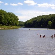
Cuivre River State Park
35.5 km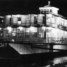
Goldenrod
9.5 km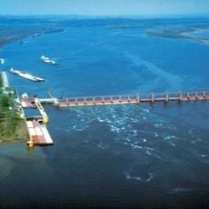
Lock and Dam No. 25
28.3 km
Two Rivers National Wildlife Refuge
24 km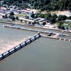
Lock and Dam No. 24
26.9 km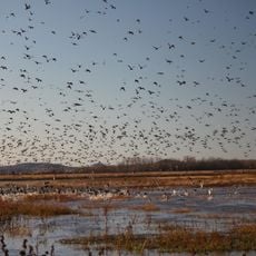
Clarence Cannon National Wildlife Refuge
12.7 km
Kamp Mound Site
8.6 km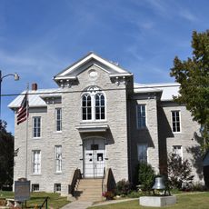
Hamilton Primary School
30.8 km
Duncan Farm
33.8 km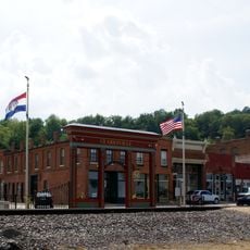
Clarksville Historic District
26.2 km
Jersey County Courthouse
30.7 km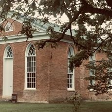
St. John's Episcopal Church
32 km
Paris Mason Building
35.6 km
Clifford-Wyrick House
26.3 km
Turner-Pharr House
26.4 km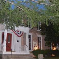
Hodges House
20.2 km
Charles Brainerd House
36.4 km
Smith-Duncan House and Eastman Barn
33.8 km
Carrollton Courthouse Square Historic District
20.2 km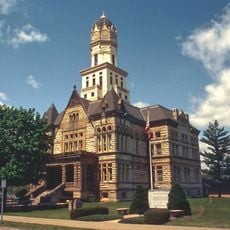
Jerseyville Downtown Historic District
30.8 km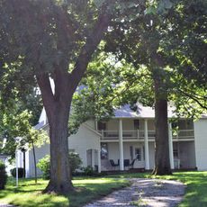
Black Homestead Farm
17.3 km
Schudel No. 2 Site
11.4 km
Northern Methodist Episcopal Church of Clarksville
26.1 km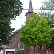
Brussels Historic District
34.4 km
Virginia Tillery Round Barn
26.4 km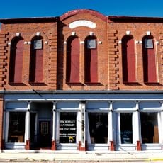
White Hall Historic District
28.4 km
Meloan, Cummins & Co., General Store
22.7 kmReviews
Visited this place? Tap the stars to rate it and share your experience / photos with the community! Try now! You can cancel it anytime.
Discover hidden gems everywhere you go!
From secret cafés to breathtaking viewpoints, skip the crowded tourist spots and find places that match your style. Our app makes it easy with voice search, smart filtering, route optimization, and insider tips from travelers worldwide. Download now for the complete mobile experience.

A unique approach to discovering new places❞
— Le Figaro
All the places worth exploring❞
— France Info
A tailor-made excursion in just a few clicks❞
— 20 Minutes