Enable Location

We need your location to show you interesting places around you

Discover nearby places

Find interesting locations and hidden gems around you

Precise directions

Get accurate directions and distances to places

Your location is never shared with other users. It's only used when you tap the location button.

Calhoun County

Log in to your account

Start exploring — it's free

Trusted by 62,170 travelers worldwide

Continue with Google
Continue with Apple
or

We will send you a code to connect

By continuing, you accept our Terms and Conditions and our Privacy Policy

Check your inbox

We've sent a pincode in your inbox. Please enter the code below.

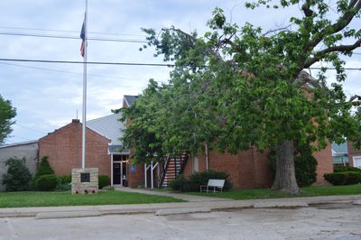
Calhoun County, Rural county in southwestern Illinois, United States.

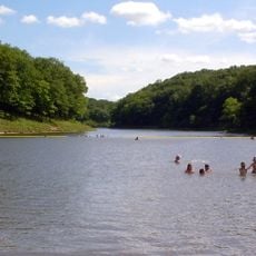
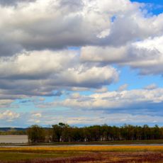
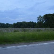
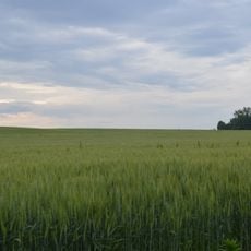
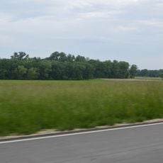
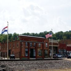
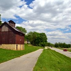
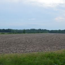
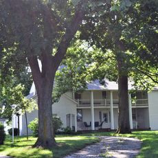
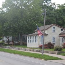
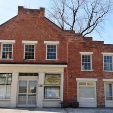
Calhoun County lies between the Mississippi and Illinois rivers and stretches across rolling hills and farmland. The area is marked by small towns and open fields with occasional wooded patches and river valleys.

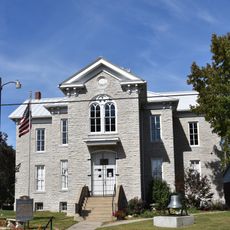
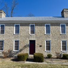
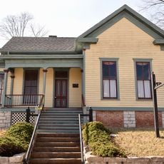
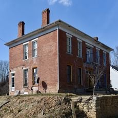
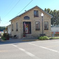
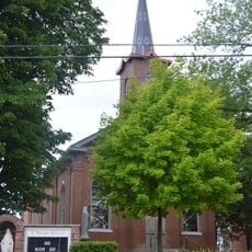
The county was established in 1825 and named after Vice President John C. Calhoun. German immigrants arrived in large numbers during the mid-1800s and settled throughout the region.

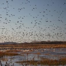
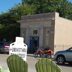
Agriculture shapes daily life here, with fruit farming and seasonal markets that showcase what grows in the region. Visitors see fields and small farms scattered across the landscape that define the character of this place.

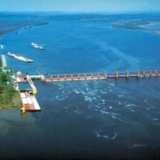
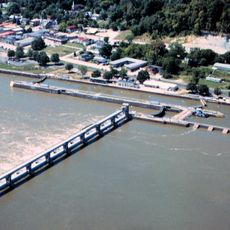
Two ferries cross the Illinois River at no cost and connect this area to neighboring regions. The best time to visit is during harvest season and summer months when roads are in good condition.

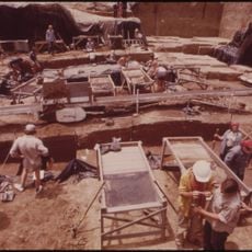
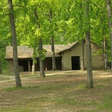
Archaeological findings show that people have lived here for thousands of years, particularly in the river valleys. This long history of settlement remains visible in the landscape today.

The community of curious travelers

AroundUs brings together thousands of curated places, local tips, and hidden gems, enriched daily by 60,000 contributors worldwide.

Start exploring
Location
Inception
1825
Capital city
Hardin
Shares border with
Greene County, Jersey County, St. Charles County, Lincoln County, Pike County
GPS coordinates
39.16000,-90.67000
Latest update
December 7, 2025 19:22
Around this place
Koster Site
United States of America

Koster Site

11.7 km
Cuivre River State Park
United States of America

Cuivre River State Park

26.6 km
Goldenrod
United States of America

Goldenrod

20.6 km
Lock and Dam No. 25
United States of America

Lock and Dam No. 25

17.3 km
Two Rivers National Wildlife Refuge
United States of America

Two Rivers National Wildlife Refuge

14.2 km
Lock and Dam No. 24
United States of America

Lock and Dam No. 24

31.7 km
Clarence Cannon National Wildlife Refuge
United States of America

Clarence Cannon National Wildlife Refuge

15.5 km
Kamp Mound Site
United States of America

Kamp Mound Site

19.6 km
Golden Eagle-Toppmeyer Site
United States of America

Golden Eagle-Toppmeyer Site

30.2 km
Hamilton Primary School
United States of America

Hamilton Primary School

26.5 km
Duncan Farm
United States of America

Duncan Farm

25.3 km
Old Rock House
United States of America

Old Rock House

31.6 km
Clarksville Historic District
United States of America

Clarksville Historic District

30.9 km
Paris Mason Building
United States of America

Paris Mason Building

28.3 km
Clifford-Wyrick House
United States of America

Clifford-Wyrick House

31 km
Turner-Pharr House
United States of America

Turner-Pharr House

31 km
Charles Brainerd House
United States of America

Charles Brainerd House

29.5 km
Smith-Duncan House and Eastman Barn
United States of America

Smith-Duncan House and Eastman Barn

25.3 km
Slaten-LaMarsh House
United States of America

Slaten-LaMarsh House

29.4 km
Schudel No. 2 Site
United States of America

Schudel No. 2 Site

2.1 km
Black Homestead Farm
United States of America

Black Homestead Farm

24.6 km
United States of America

Northern Methodist Episcopal Church of Clarksville

30.7 km
Brussels Historic District
United States of America

Brussels Historic District

24.5 km
Grafton Historic District
United States of America

Grafton Historic District

29.6 km
Grafton Bank
United States of America

Grafton Bank

29.6 km
Meloan, Cummins & Co., General Store
United States of America

Meloan, Cummins & Co., General Store

22.9 km
Michael Klunk Farmstead
United States of America

Michael Klunk Farmstead

11.1 km
Cuivre River State Park Administrative Area Historic District
United States of America

Cuivre River State Park Administrative Area Historic District

28 km
Show the full map
« Calhoun County - Rural county in southwestern Illinois, United States » is provided by Around Us (aroundus.com). Images and texts are derived from Wikimedia project under a Creative Commons license. You are allowed to copy, distribute, and modify copies of this page, under the conditions set by the license, as long as this note is clearly visible.

Discover hidden gems everywhere you go!

From secret cafés to breathtaking viewpoints, skip the crowded tourist spots and find places that match your style. Our app makes it easy with voice search, smart filtering, route optimization, and insider tips from travelers worldwide. Download now for the complete mobile experience.

Around Us App Screenshot

A unique approach to discovering new places

Le Figaro

All the places worth exploring

France Info

A tailor-made excursion in just a few clicks

20 Minutes

Around Us
Travel Guide & Maps
Download

Send to your phone

QR Code
1

Open the camera app on your mobile.

2

Point at the QR code with your camera. A notification will appear.

3

Tap the notification to open the link.